


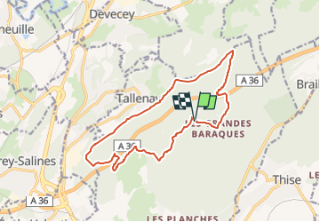

9,1 km | 12,4 km-effort

Tous les sentiers balisés d’Europe GUIDE+


Application GPS de randonnée GRATUITE
 SityTrail
IGN / Instituts géographiques
SityTrail World
Le monde est à vous
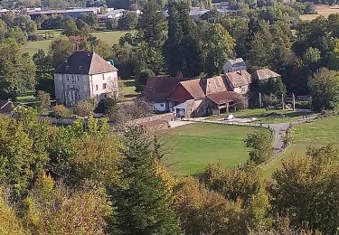
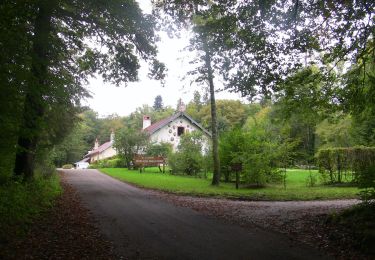
Randonnée A pied de 14,6 km à découvrir à Bourgogne-Franche-Comté, Doubs, Besançon. Cette randonnée est proposée par SityTrail - itinéraires balisés pédestres.
Randonnée créée par Ville de Besançon.
Site web: http://www.grandes-heures-nature.fr/activites/les-randonnees-pedestres/


A pied

Marche

V.T.T.
Marche
Marche
Marche
A pied
A pied
A pied