![](/images/other/stat-length.png)
![Randonnée A pied Mauzun - Le Chateau de Mauzun - Photo](https://media.geolcdn.com/t/1900/400/be6d961c-dee8-4c97-a23a-1073ebeca283.jpeg&format=pjpeg&maxdim=2)
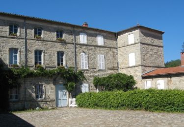
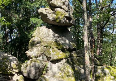
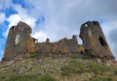
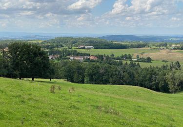
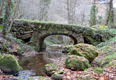
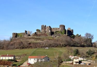
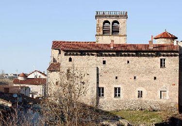
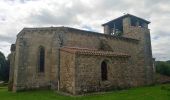
Le Chateau de Mauzun
SityTrail - itinéraires balisés pédestres
Tous les sentiers balisés d’Europe GUIDE+
![Longueur](/images/other/stat-length.png)
Longueur
8,4 km
![Altitude max](https://static1.geolcdn.com/siteimages/upload/files/1508320355ic_sort_altitude_max_24dp.png)
Altitude max
623 m
![Dénivelé positif](https://static1.geolcdn.com/siteimages/upload/files/1508320355ic_sort_den_pos_24dp.png)
Dénivelé positif
243 m
![Km-Effort](/images/other/stat-length.png)
Km-Effort
11,6 km
![Altitude min](https://static1.geolcdn.com/siteimages/upload/files/1508320355ic_sort_altitude_min_24dp.png)
Altitude min
505 m
![Dénivelé négatif](https://static1.geolcdn.com/siteimages/upload/files/1508320355ic_sort_den_neg_24dp.png)
Dénivelé négatif
230 m
![Boucle](https://static1.geolcdn.com/siteimages/upload/files/16400158638029165_repeat_loop_refresh_sync_direction_icon.png)
Boucle
Non
Balise
Date de création :
2022-02-15 19:02:31.881
Dernière modification :
2022-03-02 22:38:38.369
![A pied](https://static1.geolcdn.com/sitytour/trail-icons/100.png)
2h37
Difficulté : Facile
![Scannez ce code QR pour ouvrir la randonnée dans l'application SityTrail](https://capi.geolives.com/qq0zvz2zws4bq2lad0pu/sitytour/trails/3124221/qr.png?size=200)
Application GPS de randonnée GRATUITE
À propos
Randonnée A pied de 8,4 km à découvrir à Auvergne-Rhône-Alpes, Puy-de-Dôme, Mauzun. Cette randonnée est proposée par SityTrail - itinéraires balisés pédestres.
Description
Randonnée créée par CD63.
Localisation
Pays :
France
Région :
Auvergne-Rhône-Alpes
Département/Province :
Puy-de-Dôme
Commune :
Mauzun
Localité :
Unknown
Départ:(Dec)
Départ:(UTM)
533548 ; 5061248 (31T) N.
Commentaires
Randonnées à proximité
![Randonnée A pied Égliseneuve-près-Billom - Egliseneuve-près-Billom - Saint-Jean-des-Ollières - Photo](https://media.geolcdn.com/t/375/260/37c6e52b-d429-4f79-ab40-81ca434effbe.jpeg&format=jpg&maxdim=2)
![A pied A pied](https://static1.geolcdn.com/sitytour/trail-icons/100.png)
Egliseneuve-près-Billom - Saint-Jean-des-Ollières
A pied
Moyen
Égliseneuve-près-Billom,
Auvergne-Rhône-Alpes,
Puy-de-Dôme,
France
![](/images/other/stat-length.png)
21 km | 30 km-effort
6h 47min
![](https://static1.geolcdn.com/siteimages/upload/files/16400158638029165_repeat_loop_refresh_sync_direction_icon.png)
Non
![Randonnée A pied Saint-Dier-d'Auvergne - Des Ribes au Miodet - Photo](https://media.geolcdn.com/t/375/260/3eaf22db-7235-4d7c-b6de-2e786297c48d.jpeg&format=jpg&maxdim=2)
![A pied A pied](https://static1.geolcdn.com/sitytour/trail-icons/100.png)
Des Ribes au Miodet
A pied
Facile
Saint-Dier-d'Auvergne,
Auvergne-Rhône-Alpes,
Puy-de-Dôme,
France
![](/images/other/stat-length.png)
11,4 km | 14,6 km-effort
3h 19min
![](https://static1.geolcdn.com/siteimages/upload/files/16400158638029165_repeat_loop_refresh_sync_direction_icon.png)
Oui
![Randonnée Marche Fayet-le-Château - Ronde des fours - Photo](https://media.geolcdn.com/t/375/260/e433297a-3dcb-40fe-9fd1-fddeffe80b31.jpg&format=jpg&maxdim=2)
![Marche Marche](https://static1.geolcdn.com/sitytour/trail-icons/101.png)
Ronde des fours
Marche
Facile
Fayet-le-Château,
Auvergne-Rhône-Alpes,
Puy-de-Dôme,
France
![](/images/other/stat-length.png)
17,1 km | 23 km-effort
5h 17min
![](https://static1.geolcdn.com/siteimages/upload/files/16400158638029165_repeat_loop_refresh_sync_direction_icon.png)
Oui
![Randonnée Marche Bongheat - bongheat-Mauzun_T - Photo](https://media.geolcdn.com/t/375/260/7f635806-0acb-425b-8038-c52398fca600.jpg&format=jpg&maxdim=2)
![Marche Marche](https://static1.geolcdn.com/sitytour/trail-icons/101.png)
bongheat-Mauzun_T
Marche
Moyen
Bongheat,
Auvergne-Rhône-Alpes,
Puy-de-Dôme,
France
![](/images/other/stat-length.png)
13,3 km | 18,4 km-effort
3h 45min
![](https://static1.geolcdn.com/siteimages/upload/files/16400158638029165_repeat_loop_refresh_sync_direction_icon.png)
Oui
![Randonnée Marche Trézioux - La ronde des Grüns de Trézioux - Photo](https://media.geolcdn.com/t/375/260/fbc36beb-4703-4f16-8ba5-584236f20e9e.jpeg&format=jpg&maxdim=2)
![Marche Marche](https://static1.geolcdn.com/sitytour/trail-icons/101.png)
La ronde des Grüns de Trézioux
Marche
Moyen
Trézioux,
Auvergne-Rhône-Alpes,
Puy-de-Dôme,
France
![](/images/other/stat-length.png)
20 km | 26 km-effort
5h 5min
![](https://static1.geolcdn.com/siteimages/upload/files/16400158638029165_repeat_loop_refresh_sync_direction_icon.png)
Oui
![Randonnée Marche Égliseneuve-près-Billom - Egliseneuve_Madet - Photo](https://media.geolcdn.com/t/375/260/477f218d-f91e-41b8-b984-1f348fbfff5f.jpg&format=jpg&maxdim=2)
![Marche Marche](https://static1.geolcdn.com/sitytour/trail-icons/101.png)
Egliseneuve_Madet
Marche
Moyen
Égliseneuve-près-Billom,
Auvergne-Rhône-Alpes,
Puy-de-Dôme,
France
![](/images/other/stat-length.png)
8,1 km | 12,1 km-effort
2h 30min
![](https://static1.geolcdn.com/siteimages/upload/files/16400158638029165_repeat_loop_refresh_sync_direction_icon.png)
Oui
![Marche Marche](https://static1.geolcdn.com/sitytour/trail-icons/101.png)
Mauzun_Chateau
Marche
Moyen
Mauzun,
Auvergne-Rhône-Alpes,
Puy-de-Dôme,
France
![](/images/other/stat-length.png)
8,9 km | 12,2 km-effort
2h 45min
![](https://static1.geolcdn.com/siteimages/upload/files/16400158638029165_repeat_loop_refresh_sync_direction_icon.png)
Oui
![Randonnée Marche Saint-Dier-d'Auvergne - St_Dier_Ribes_Miodet - Photo](https://media.geolcdn.com/t/375/260/1ad077f2-ac13-4fa4-8893-456994b8d19d.jpg&format=jpg&maxdim=2)
![Marche Marche](https://static1.geolcdn.com/sitytour/trail-icons/101.png)
St_Dier_Ribes_Miodet
Marche
Moyen
Saint-Dier-d'Auvergne,
Auvergne-Rhône-Alpes,
Puy-de-Dôme,
France
![](/images/other/stat-length.png)
11,4 km | 14,5 km-effort
3h 15min
![](https://static1.geolcdn.com/siteimages/upload/files/16400158638029165_repeat_loop_refresh_sync_direction_icon.png)
Oui
![Randonnée Marche Égliseneuve-près-Billom - Château de Montmorin - Photo](https://media.geolcdn.com/t/375/260/8b1aa295-6dba-4d1e-ae17-fbe4f9adc7f6.jpg&format=jpg&maxdim=2)
![Marche Marche](https://static1.geolcdn.com/sitytour/trail-icons/101.png)
Château de Montmorin
Marche
Moyen
Égliseneuve-près-Billom,
Auvergne-Rhône-Alpes,
Puy-de-Dôme,
France
![](/images/other/stat-length.png)
18 km | 26 km-effort
5h 8min
![](https://static1.geolcdn.com/siteimages/upload/files/16400158638029165_repeat_loop_refresh_sync_direction_icon.png)
Oui