![](/images/other/stat-length.png)
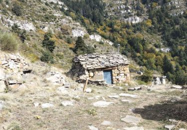
![Randonnée A pied Moulinet - Tour de la Calmette - Photo](https://media.geolcdn.com/t/1900/400/f1319e6f-f58e-4543-ba7d-7f850f27f51a.jpeg&format=pjpeg&maxdim=2)
Tour de la Calmette
SityTrail - itinéraires balisés pédestres
Tous les sentiers balisés d’Europe GUIDE+
![Longueur](/images/other/stat-length.png)
![Altitude max](https://static1.geolcdn.com/siteimages/upload/files/1508320355ic_sort_altitude_max_24dp.png)
![Dénivelé positif](https://static1.geolcdn.com/siteimages/upload/files/1508320355ic_sort_den_pos_24dp.png)
![Km-Effort](/images/other/stat-length.png)
![Altitude min](https://static1.geolcdn.com/siteimages/upload/files/1508320355ic_sort_altitude_min_24dp.png)
![Dénivelé négatif](https://static1.geolcdn.com/siteimages/upload/files/1508320355ic_sort_den_neg_24dp.png)
![Boucle](https://static1.geolcdn.com/siteimages/upload/files/16400158638029165_repeat_loop_refresh_sync_direction_icon.png)
![A pied](https://static1.geolcdn.com/sitytour/trail-icons/100.png)
2h32
Difficulté : Facile
![Scannez ce code QR pour ouvrir la randonnée dans l'application SityTrail](https://capi.geolives.com/qq0zvz2zws4bq2lad0pu/sitytour/trails/3123882/qr.png?size=200)
Application GPS de randonnée GRATUITE
À propos
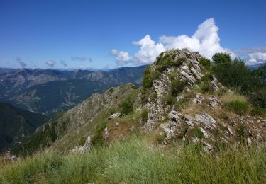
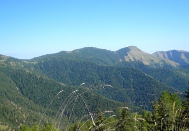
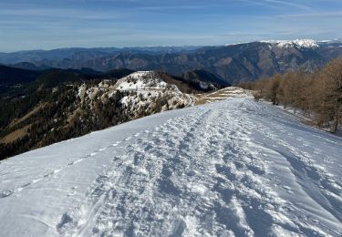
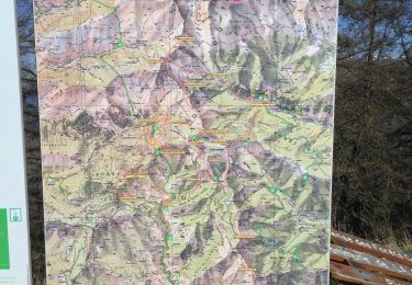
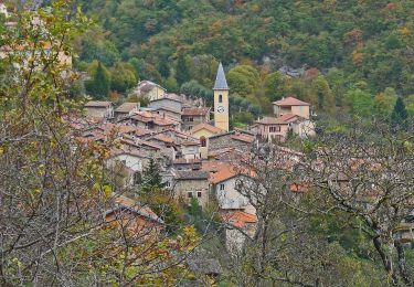
Randonnée A pied de 7,1 km à découvrir à Provence-Alpes-Côte d'Azur, Alpes-Maritimes, Moulinet. Cette randonnée est proposée par SityTrail - itinéraires balisés pédestres.
Description
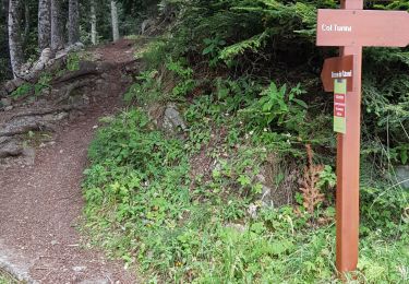
Randonnée pédestre - Haut pays : Au départ du col de Turini (1 604 mètres)
Site web: https://randoxygene.departement06.fr/haute-vesubie/tour-de-la-calmette-9197.html
Localisation
Commentaires
Randonnées à proximité
![Randonnée Marche Lantosque - cime de Suorcas en boucle - Photo](https://media.geolcdn.com/t/375/260/0ecdc4ca-4a6f-455e-849d-12769607394f.jpg&format=jpg&maxdim=2)
![Marche Marche](https://static1.geolcdn.com/sitytour/trail-icons/101.png)
Marche
![](/images/other/stat-length.png)
![](https://static1.geolcdn.com/siteimages/upload/files/16400158638029165_repeat_loop_refresh_sync_direction_icon.png)
![Randonnée A pied Moulinet - Crêtes de l'Arpiha - Photo](https://media.geolcdn.com/t/375/260/c07cc7b3-d5b2-4e51-bdf4-03929243643c.jpeg&format=jpg&maxdim=2)
![A pied A pied](https://static1.geolcdn.com/sitytour/trail-icons/100.png)
A pied
![](/images/other/stat-length.png)
![](https://static1.geolcdn.com/siteimages/upload/files/16400158638029165_repeat_loop_refresh_sync_direction_icon.png)
![Randonnée A pied Moulinet - Cime du Diable - Photo](https://media.geolcdn.com/t/375/260/94134920-c5fc-4b95-a9f6-aeabb0ba95c2.jpeg&format=jpg&maxdim=2)
![A pied A pied](https://static1.geolcdn.com/sitytour/trail-icons/100.png)
A pied
![](/images/other/stat-length.png)
![](https://static1.geolcdn.com/siteimages/upload/files/16400158638029165_repeat_loop_refresh_sync_direction_icon.png)
![Randonnée Raquettes à neige Moulinet - Baisse Cavaline - Photo](https://media.geolcdn.com/t/375/260/b5a21962-1dcd-409b-822e-6e34602431de.jpg&format=jpg&maxdim=2)
![Raquettes à neige Raquettes à neige](https://static1.geolcdn.com/sitytour/trail-icons/504.png)
Raquettes à neige
![](/images/other/stat-length.png)
![](https://static1.geolcdn.com/siteimages/upload/files/16400158638029165_repeat_loop_refresh_sync_direction_icon.png)
![Randonnée Marche Moulinet - Grand Tour de Lauthion - Photo](https://media.geolcdn.com/t/375/260/fc421b10-23aa-4b7a-b4cf-80322f7edc29.jpg&format=jpg&maxdim=2)
![Marche Marche](https://static1.geolcdn.com/sitytour/trail-icons/101.png)
Marche
![](/images/other/stat-length.png)
![](https://static1.geolcdn.com/siteimages/upload/files/16400158638029165_repeat_loop_refresh_sync_direction_icon.png)
![Randonnée A pied Moulinet - Baisse de Peira Cava - Photo](https://media.geolcdn.com/t/375/260/dbec6e0a-5512-4263-b11e-6e8d3e38cd6e.jpeg&format=jpg&maxdim=2)
![A pied A pied](https://static1.geolcdn.com/sitytour/trail-icons/100.png)
A pied
![](/images/other/stat-length.png)
![](https://static1.geolcdn.com/siteimages/upload/files/16400158638029165_repeat_loop_refresh_sync_direction_icon.png)
![Randonnée Marche Moulinet - Turini- tour de la Calmette - Photo](https://media.geolcdn.com/t/375/260/65c623cf-7185-4ec8-a258-6191b868284a.jpg&format=jpg&maxdim=2)
![Marche Marche](https://static1.geolcdn.com/sitytour/trail-icons/101.png)
Marche
![](/images/other/stat-length.png)
![](https://static1.geolcdn.com/siteimages/upload/files/16400158638029165_repeat_loop_refresh_sync_direction_icon.png)
![Randonnée Marche Moulinet - Baisse de Bécass - Photo](https://media.geolcdn.com/t/375/260/10e54f39-88d4-4b84-9364-47a11d8f39f0.jpg&format=jpg&maxdim=2)
![Marche Marche](https://static1.geolcdn.com/sitytour/trail-icons/101.png)
Marche
![](/images/other/stat-length.png)
![](https://static1.geolcdn.com/siteimages/upload/files/16400158638029165_repeat_loop_refresh_sync_direction_icon.png)
![Randonnée Marche Moulinet - Bois Noir au départ de Cabanes Vieilles - Photo](https://media.geolcdn.com/t/375/260/3a606a47-7a05-442f-9077-9afb776dfe03.jpg&format=jpg&maxdim=2)
![Marche Marche](https://static1.geolcdn.com/sitytour/trail-icons/101.png)
Marche
![](/images/other/stat-length.png)
![](https://static1.geolcdn.com/siteimages/upload/files/16400158638029165_repeat_loop_refresh_sync_direction_icon.png)