![](/images/other/stat-length.png)
![Randonnée A pied Châteauneuf-d'Entraunes - Boucle de la Barlatte - Photo](https://media.geolcdn.com/t/1900/400/aff95dff-f01d-44c8-8159-2c0a42fccf8f.jpeg&format=pjpeg&maxdim=2)
Boucle de la Barlatte
SityTrail - itinéraires balisés pédestres
Tous les sentiers balisés d’Europe GUIDE+
![Longueur](/images/other/stat-length.png)
![Altitude max](https://static1.geolcdn.com/siteimages/upload/files/1508320355ic_sort_altitude_max_24dp.png)
![Dénivelé positif](https://static1.geolcdn.com/siteimages/upload/files/1508320355ic_sort_den_pos_24dp.png)
![Km-Effort](/images/other/stat-length.png)
![Altitude min](https://static1.geolcdn.com/siteimages/upload/files/1508320355ic_sort_altitude_min_24dp.png)
![Dénivelé négatif](https://static1.geolcdn.com/siteimages/upload/files/1508320355ic_sort_den_neg_24dp.png)
![Boucle](https://static1.geolcdn.com/siteimages/upload/files/16400158638029165_repeat_loop_refresh_sync_direction_icon.png)
![A pied](https://static1.geolcdn.com/sitytour/trail-icons/100.png)
2h45
Difficulté : Facile
![Scannez ce code QR pour ouvrir la randonnée dans l'application SityTrail](https://capi.geolives.com/qq0zvz2zws4bq2lad0pu/sitytour/trails/3123805/qr.png?size=200)
Application GPS de randonnée GRATUITE
À propos
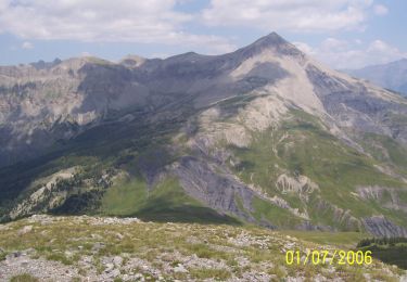
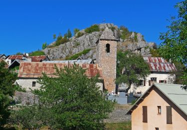
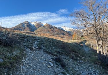
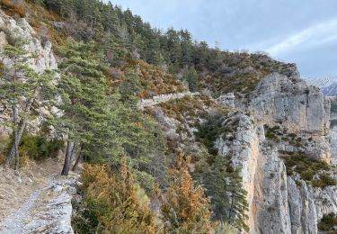
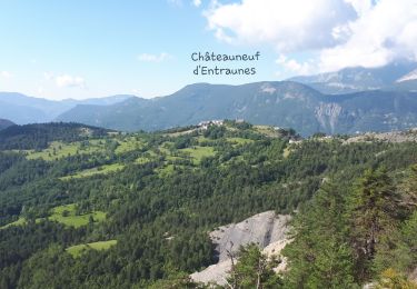
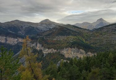
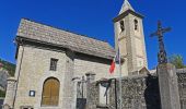
Randonnée A pied de 6,5 km à découvrir à Provence-Alpes-Côte d'Azur, Alpes-Maritimes, Châteauneuf-d'Entraunes. Cette randonnée est proposée par SityTrail - itinéraires balisés pédestres.
Description
Randonnée pédestre - Haut pays : Au départ de Châteauneuf-d’Entraunes (1 300 mètres)
Site web: https://randoxygene.departement06.fr/haut-var/boucle-de-la-barlatte-9045.html
Localisation
Commentaires
Randonnées à proximité
![Randonnée A pied Villeneuve-d'Entraunes - Circuit Enaux-Sussis - Photo](https://media.geolcdn.com/t/375/260/8f87238f-42fa-40a1-a80f-8030601f802a.jpeg&format=jpg&maxdim=2)
![A pied A pied](https://static1.geolcdn.com/sitytour/trail-icons/100.png)
A pied
![](/images/other/stat-length.png)
![](https://static1.geolcdn.com/siteimages/upload/files/16400158638029165_repeat_loop_refresh_sync_direction_icon.png)
![Randonnée A pied Châteauneuf-d'Entraunes - Cime de l'Aspre - Photo](https://media.geolcdn.com/t/375/260/ef18e94c-0a9d-4e56-bc2e-4f1afe18a347.jpeg&format=jpg&maxdim=2)
![A pied A pied](https://static1.geolcdn.com/sitytour/trail-icons/100.png)
A pied
![](/images/other/stat-length.png)
![](https://static1.geolcdn.com/siteimages/upload/files/16400158638029165_repeat_loop_refresh_sync_direction_icon.png)
![Randonnée A pied Sauze - Hameaux de Sauze - Photo](https://media.geolcdn.com/t/375/260/8de1e0fb-d754-4ba0-84e6-05cab893c487.jpeg&format=jpg&maxdim=2)
![A pied A pied](https://static1.geolcdn.com/sitytour/trail-icons/100.png)
A pied
![](/images/other/stat-length.png)
![](https://static1.geolcdn.com/siteimages/upload/files/16400158638029165_repeat_loop_refresh_sync_direction_icon.png)
![Randonnée Marche Sauze - Mont St Honorât - Photo](https://media.geolcdn.com/t/375/260/60060653-5e59-4e6b-ba0a-f1f4b45ca880.jpg&format=jpg&maxdim=2)
![Marche Marche](https://static1.geolcdn.com/sitytour/trail-icons/101.png)
Marche
![](/images/other/stat-length.png)
![](https://static1.geolcdn.com/siteimages/upload/files/16400158638029165_repeat_loop_refresh_sync_direction_icon.png)
![Randonnée Marche Châteauneuf-d'Entraunes - Cime de l’Aspre - Photo](https://media.geolcdn.com/t/375/260/9165f8a5-3868-4e25-b7f0-6a7fc7a7b2b6.jpg&format=jpg&maxdim=2)
![Marche Marche](https://static1.geolcdn.com/sitytour/trail-icons/101.png)
Marche
![](/images/other/stat-length.png)
![](https://static1.geolcdn.com/siteimages/upload/files/16400158638029165_repeat_loop_refresh_sync_direction_icon.png)
![Randonnée Marche Châteauneuf-d'Entraunes - Châteauneuf d'Entraunes Gorges de Saucha Negra, vers Cime Chamoussillon - Photo](https://media.geolcdn.com/t/375/260/eb6886cf-9755-480b-a06f-27ce2f70c557.jpg&format=jpg&maxdim=2)
![Marche Marche](https://static1.geolcdn.com/sitytour/trail-icons/101.png)
Marche
![](/images/other/stat-length.png)
![](https://static1.geolcdn.com/siteimages/upload/files/16400158638029165_repeat_loop_refresh_sync_direction_icon.png)
![Randonnée Marche Guillaumes - Ruines de Theoulins - Photo](https://media.geolcdn.com/t/375/260/3edf72db-8239-4d85-bded-6988e7526b3a.jpg&format=jpg&maxdim=2)
![Marche Marche](https://static1.geolcdn.com/sitytour/trail-icons/101.png)
Marche
![](/images/other/stat-length.png)
![](https://static1.geolcdn.com/siteimages/upload/files/16400158638029165_repeat_loop_refresh_sync_direction_icon.png)
![Randonnée sport Villeneuve-d'Entraunes - Bouquetin - Photo](https://media.geolcdn.com/t/375/260/ext.jpg?maxdim=2&url=https%3A%2F%2Fsecurestorage.geolives.com%2Fsitytour%2Ftrail-bg%2Fdefault.jpg)
sport
![](/images/other/stat-length.png)
![](https://static1.geolcdn.com/siteimages/upload/files/16400158638029165_repeat_loop_refresh_sync_direction_icon.png)
![Randonnée Marche Villeneuve-d'Entraunes - le pas Roubinous - Photo](https://media.geolcdn.com/t/375/260/ext.jpg?maxdim=2&url=https%3A%2F%2Fstatic1.geolcdn.com%2Fsiteimages%2Fupload%2Ffiles%2F1553511878bg_sport_marche.png)
![Marche Marche](https://static1.geolcdn.com/sitytour/trail-icons/101.png)
Marche
![](/images/other/stat-length.png)
![](https://static1.geolcdn.com/siteimages/upload/files/16400158638029165_repeat_loop_refresh_sync_direction_icon.png)