


4,8 km | 7,7 km-effort

Tous les sentiers balisés d’Europe GUIDE+


Application GPS de randonnée GRATUITE
 SityTrail
IGN / Instituts géographiques
SityTrail World
Le monde est à vous
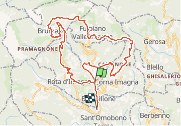
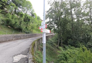
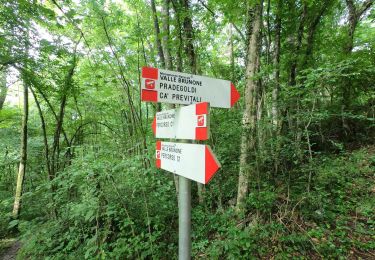
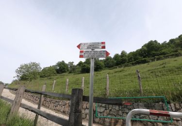
Randonnée A pied de 26 km à découvrir à Lombardie, Bergame, Locatello. Cette randonnée est proposée par SityTrail - itinéraires balisés pédestres.
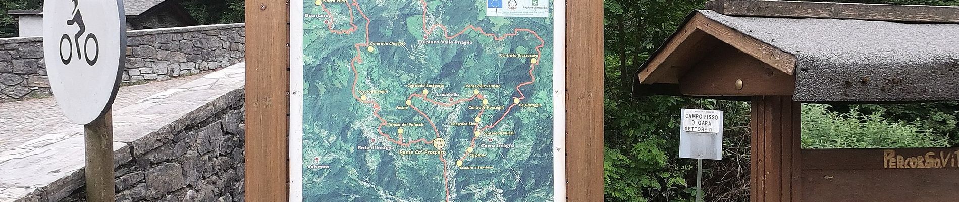
Il Sentiero dei Giganti è un percorso ad anello che ripercorre i luoghi più significativi dell'alta Valle Imagna alla scoperta dei giganti di pietra.
Site web: https://www.turismovalleimagna.it/itinerari-naturalistici/sentiero-dei-giganti/


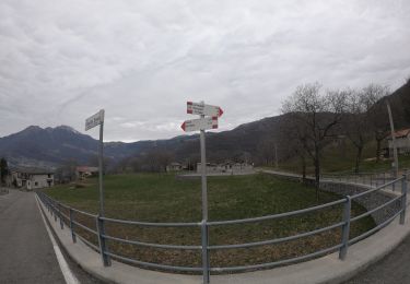
A pied
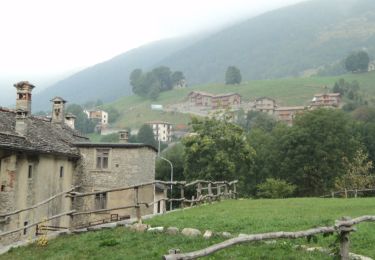
A pied
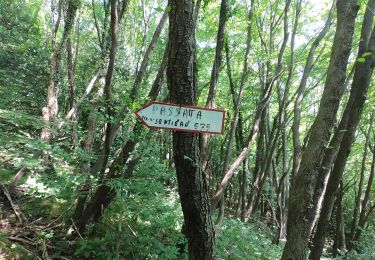
A pied
A pied
A pied
A pied
A pied