


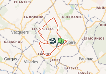


11,5 km | 13,4 km-effort

Tous les sentiers balisés d’Europe GUIDE+


Application GPS de randonnée GRATUITE
 SityTrail
IGN / Instituts géographiques
SityTrail World
Le monde est à vous
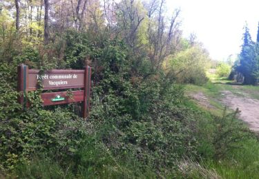
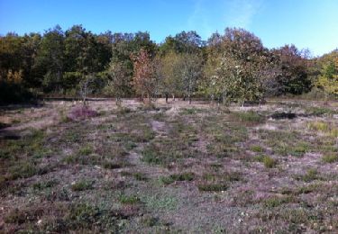
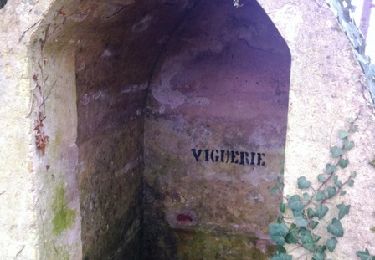
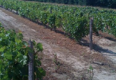
Randonnée A pied de 11,7 km à découvrir à Occitanie, Haute-Garonne, Montjoire. Cette randonnée est proposée par SityTrail - itinéraires balisés pédestres.
Randonnée créée par Communauté de Communes des Coteaux du Girou.


Marche
Marche
V.T.T.
Marche
Course à pied

Course à pied

V.T.T.
Course à pied

Marche