


8,3 km | 9,6 km-effort

Tous les sentiers balisés d’Europe GUIDE+


Application GPS de randonnée GRATUITE
 SityTrail
IGN / Instituts géographiques
SityTrail World
Le monde est à vous
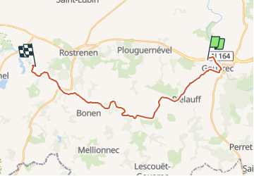
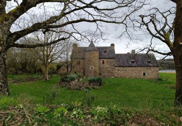
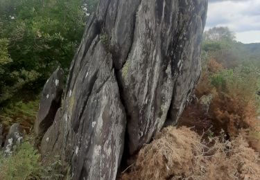
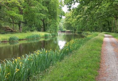
Randonnée A pied de 21 km à découvrir à Bretagne, Côtes-d'Armor, Gouarec. Cette randonnée est proposée par SityTrail - itinéraires balisés pédestres.
Randonnée créée par Office de tourisme Kreiz Breizh.


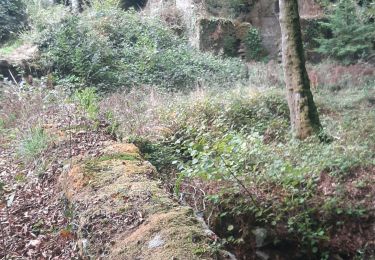
Marche
Marche
Marche
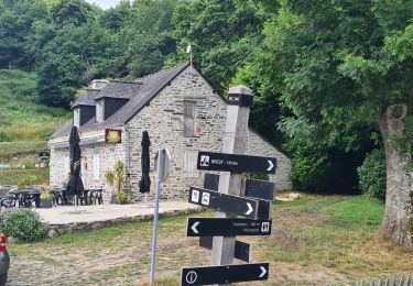
Marche
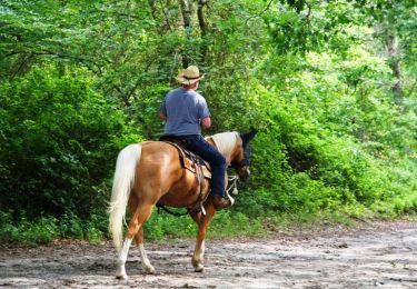
Cheval
Cheval
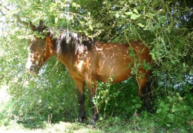
Marche
Marche
Cyclotourisme