


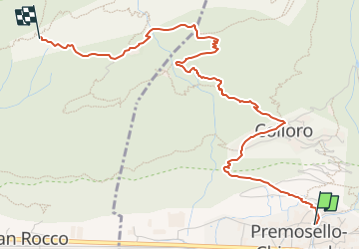

4,9 km | 21 km-effort

Tous les sentiers balisés d’Europe GUIDE+


Application GPS de randonnée GRATUITE
 SityTrail
IGN / Instituts géographiques
SityTrail World
Le monde est à vous
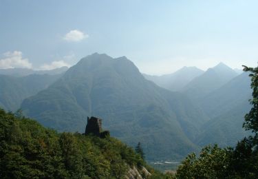
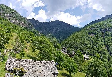
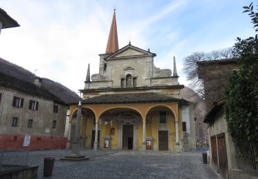
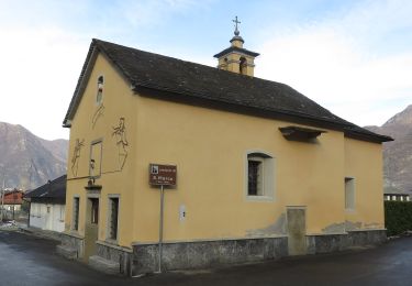
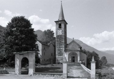
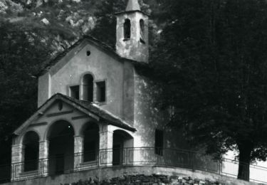
Randonnée A pied de 4,5 km à découvrir à Piémont, Verbano-Cusio-Ossola, Premosello-Chiovenda. Cette randonnée est proposée par SityTrail - itinéraires balisés pédestres.
Symbole: white red flags


A pied
A pied
A pied
A pied
A pied
A pied
A pied
A pied
A pied