


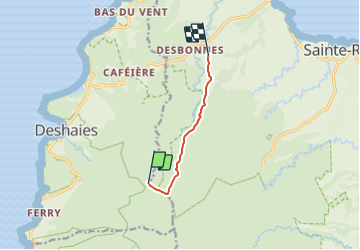

3,3 km | 5,5 km-effort


Tous les sentiers balisés d’Europe GUIDE+


Application GPS de randonnée GRATUITE
 SityTrail
IGN / Instituts géographiques
SityTrail World
Le monde est à vous
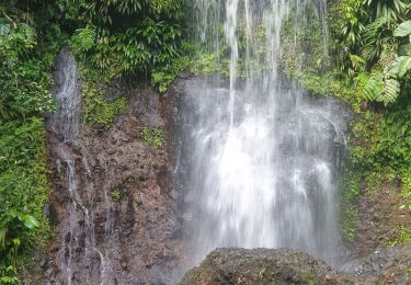
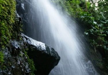
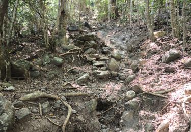
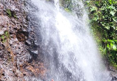
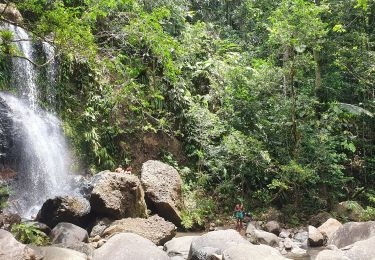
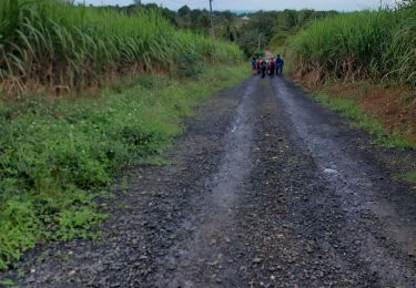
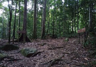
Randonnée A pied de 6,6 km à découvrir à Guadeloupe, Inconnu, Sainte-Rose. Cette randonnée est proposée par SityTrail - itinéraires balisés pédestres.
Randonnée créée par Parc National de la Guadeloupe.
Site web: http://www.randoguadeloupe.gp/pedestre/solitude/
Marche
Marche
Marche
Marche
Marche
Marche
Marche
Marche