


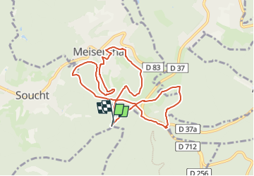

13,1 km | 17,5 km-effort


Tous les sentiers balisés d’Europe GUIDE+


Application GPS de randonnée GRATUITE
 SityTrail
IGN / Instituts géographiques
SityTrail World
Le monde est à vous
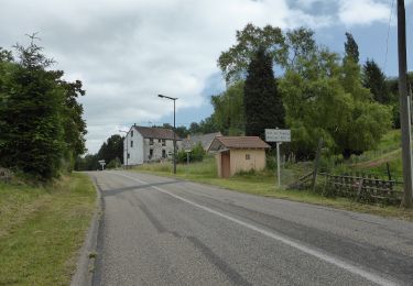
Randonnée A pied de 9,3 km à découvrir à Grand Est, Moselle, Soucht. Cette randonnée est proposée par SityTrail - itinéraires balisés pédestres.
Le parcours est accessible du 15 mars au 15 novembre. L'association Val-Mesange de Meisenthal propose un parcours de 10 et 20 km...
Site web: https://www.ffsp.fr/parcours-permanents/Parcours-du-Mondfänger.html


Marche
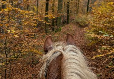
Randonnée équestre
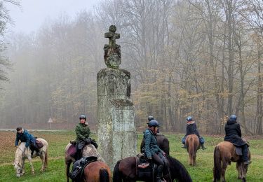
Randonnée équestre
A pied
A pied
A pied

A pied
A pied