


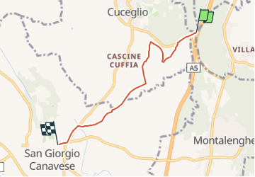

13,7 km | 15,3 km-effort


Tous les sentiers balisés d’Europe GUIDE+


Application GPS de randonnée GRATUITE
 SityTrail
IGN / Instituts géographiques
SityTrail World
Le monde est à vous
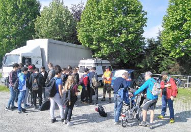
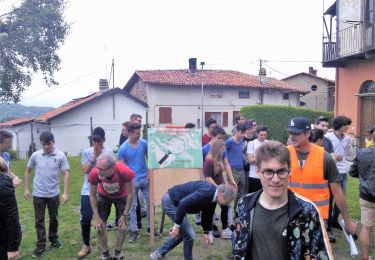
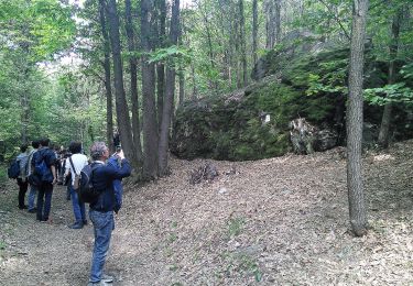
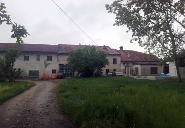
Randonnée A pied de 4,4 km à découvrir à Piémont, Turin, Vialfrè. Cette randonnée est proposée par SityTrail - itinéraires balisés pédestres.
relation mantained by gianfox (CAI-IVREA)
Site web: http://www.caiivrea.it/
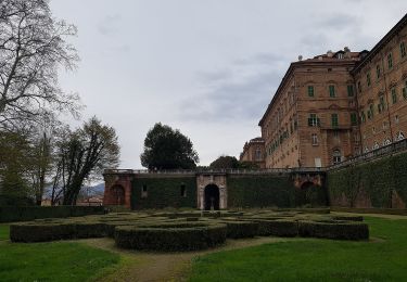
A pied
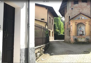
A pied
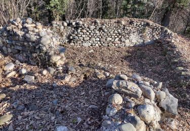
A pied
A pied
A pied

A pied
A pied

A pied
A pied