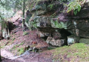
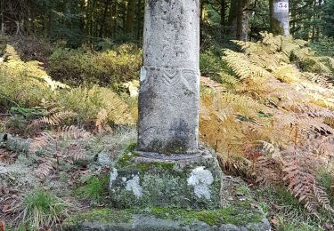
![](/images/other/stat-length.png)
![Randonnée A pied Girmont-Val-d'Ajol - La Beuille, sur la ligne de partage des eaux - Photo](https://media.geolcdn.com/t/1900/400/5b2df71d-978f-45ae-8b89-c03378f2d860.jpeg&format=pjpeg&maxdim=2)
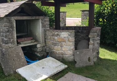
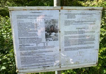
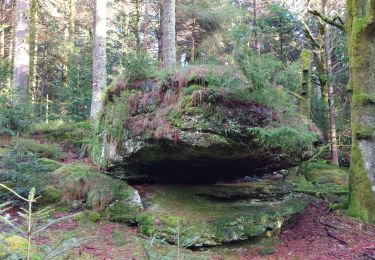
La Beuille, sur la ligne de partage des eaux
SityTrail - itinéraires balisés pédestres
Tous les sentiers balisés d’Europe GUIDE+
![Longueur](/images/other/stat-length.png)
Longueur
8,7 km
![Altitude max](https://static1.geolcdn.com/siteimages/upload/files/1508320355ic_sort_altitude_max_24dp.png)
Altitude max
739 m
![Dénivelé positif](https://static1.geolcdn.com/siteimages/upload/files/1508320355ic_sort_den_pos_24dp.png)
Dénivelé positif
255 m
![Km-Effort](/images/other/stat-length.png)
Km-Effort
12,1 km
![Altitude min](https://static1.geolcdn.com/siteimages/upload/files/1508320355ic_sort_altitude_min_24dp.png)
Altitude min
588 m
![Dénivelé négatif](https://static1.geolcdn.com/siteimages/upload/files/1508320355ic_sort_den_neg_24dp.png)
Dénivelé négatif
255 m
![Boucle](https://static1.geolcdn.com/siteimages/upload/files/16400158638029165_repeat_loop_refresh_sync_direction_icon.png)
Boucle
Oui
Balise
Date de création :
2022-02-15 14:30:12.786
Dernière modification :
2022-03-02 16:12:24.533
![A pied](https://static1.geolcdn.com/sitytour/trail-icons/100.png)
2h45
Difficulté : Facile
![Scannez ce code QR pour ouvrir la randonnée dans l'application SityTrail](https://capi.geolives.com/qq0zvz2zws4bq2lad0pu/sitytour/trails/3119957/qr.png?size=200)
Application GPS de randonnée GRATUITE
À propos
Randonnée A pied de 8,7 km à découvrir à Grand Est, Vosges, Girmont-Val-d'Ajol. Cette randonnée est proposée par SityTrail - itinéraires balisés pédestres.
Description
Randonnée créée par Vosges Méridionales.
Localisation
Pays :
France
Région :
Grand Est
Département/Province :
Vosges
Commune :
Girmont-Val-d'Ajol
Localité :
Unknown
Départ:(Dec)
Départ:(UTM)
320928 ; 5315469 (32T) N.
Commentaires
Randonnées à proximité
![Randonnée A pied Girmont-Val-d'Ajol - Les Étangs du Girmont - Photo](https://media.geolcdn.com/t/375/260/5b2df71d-978f-45ae-8b89-c03378f2d860.jpeg&format=jpg&maxdim=2)
![A pied A pied](https://static1.geolcdn.com/sitytour/trail-icons/100.png)
Les Étangs du Girmont
A pied
Facile
Girmont-Val-d'Ajol,
Grand Est,
Vosges,
France
![](/images/other/stat-length.png)
9,9 km | 13,1 km-effort
2h 59min
![](https://static1.geolcdn.com/siteimages/upload/files/16400158638029165_repeat_loop_refresh_sync_direction_icon.png)
Oui
![Randonnée V.T.T. Girmont-Val-d'Ajol - Rando de Che No 2013 - Photo](https://media.geolcdn.com/t/375/260/ext.jpg?maxdim=2&url=https%3A%2F%2Fstatic1.geolcdn.com%2Fsiteimages%2Fupload%2Ffiles%2F1524743154velo.jpg)
![V.T.T. V.T.T.](https://static1.geolcdn.com/sitytour/trail-icons/202.png)
Rando de Che No 2013
V.T.T.
Difficile
(1)
Girmont-Val-d'Ajol,
Grand Est,
Vosges,
France
![](/images/other/stat-length.png)
48 km | 63 km-effort
3h 59min
![](https://static1.geolcdn.com/siteimages/upload/files/16400158638029165_repeat_loop_refresh_sync_direction_icon.png)
Oui
![Randonnée Marche Girmont-Val-d'Ajol - Les Étangs de Girmont - Photo](https://media.geolcdn.com/t/375/260/711c3bcd-297e-44b0-ad6e-a1a73af41360.jpg&format=jpg&maxdim=2)
![Marche Marche](https://static1.geolcdn.com/sitytour/trail-icons/101.png)
Les Étangs de Girmont
Marche
Facile
Girmont-Val-d'Ajol,
Grand Est,
Vosges,
France
![](/images/other/stat-length.png)
8 km | 10,6 km-effort
2h 8min
![](https://static1.geolcdn.com/siteimages/upload/files/16400158638029165_repeat_loop_refresh_sync_direction_icon.png)
Oui
![Randonnée Marche La Montagne - la montagne 70000 - Photo](https://media.geolcdn.com/t/375/260/14a55937-fdd9-43ce-b4ae-5478c59489e1.jpg&format=jpg&maxdim=2)
![Marche Marche](https://static1.geolcdn.com/sitytour/trail-icons/101.png)
la montagne 70000
Marche
Très difficile
La Montagne,
Bourgogne-Franche-Comté,
Haute-Saône,
France
![](/images/other/stat-length.png)
17,2 km | 23 km-effort
5h 3min
![](https://static1.geolcdn.com/siteimages/upload/files/16400158638029165_repeat_loop_refresh_sync_direction_icon.png)
Non
![Randonnée Marche Vecoux - Chaudefontaine -grand lac- Chaudefontaine - Photo](https://media.geolcdn.com/t/375/260/e2d224f0-cc42-45e2-aa09-2f3731046682.jpg&format=jpg&maxdim=2)
![Marche Marche](https://static1.geolcdn.com/sitytour/trail-icons/101.png)
Chaudefontaine -grand lac- Chaudefontaine
Marche
Difficile
Vecoux,
Grand Est,
Vosges,
France
![](/images/other/stat-length.png)
8,6 km | 13,4 km-effort
3h 2min
![](https://static1.geolcdn.com/siteimages/upload/files/16400158638029165_repeat_loop_refresh_sync_direction_icon.png)
Oui
![Randonnée Marche Girmont-Val-d'Ajol - GIRMONT VAL D'AJOL - Photo](https://media.geolcdn.com/t/375/260/ext.jpg?maxdim=2&url=https%3A%2F%2Fstatic1.geolcdn.com%2Fsiteimages%2Fupload%2Ffiles%2F1553511878bg_sport_marche.png)
![Marche Marche](https://static1.geolcdn.com/sitytour/trail-icons/101.png)
GIRMONT VAL D'AJOL
Marche
Difficile
(1)
Girmont-Val-d'Ajol,
Grand Est,
Vosges,
France
![](/images/other/stat-length.png)
9,3 km | 12,9 km-effort
2h 55min
![](https://static1.geolcdn.com/siteimages/upload/files/16400158638029165_repeat_loop_refresh_sync_direction_icon.png)
Oui
![Randonnée Marche Rupt-sur-Moselle - Vosges 2019 : réserve de Rupt-sur-Moselle.ori - Photo](https://media.geolcdn.com/t/375/260/adfd715c-3dda-4f69-b257-3a5537e0778d.jpg&format=jpg&maxdim=2)
![Marche Marche](https://static1.geolcdn.com/sitytour/trail-icons/101.png)
Vosges 2019 : réserve de Rupt-sur-Moselle.ori
Marche
Moyen
Rupt-sur-Moselle,
Grand Est,
Vosges,
France
![](/images/other/stat-length.png)
11,4 km | 17,7 km-effort
5h 13min
![](https://static1.geolcdn.com/siteimages/upload/files/16400158638029165_repeat_loop_refresh_sync_direction_icon.png)
Oui
![Randonnée Marche Saint-Étienne-lès-Remiremont - Le sentier des Pourdingues - Photo](https://media.geolcdn.com/t/375/260/05f37927-58e2-4004-9b91-7dc8735f936f.jpg&format=jpg&maxdim=2)
![Marche Marche](https://static1.geolcdn.com/sitytour/trail-icons/101.png)
Le sentier des Pourdingues
Marche
Facile
Saint-Étienne-lès-Remiremont,
Grand Est,
Vosges,
France
![](/images/other/stat-length.png)
10,7 km | 15,3 km-effort
2h 25min
![](https://static1.geolcdn.com/siteimages/upload/files/16400158638029165_repeat_loop_refresh_sync_direction_icon.png)
Oui
![Randonnée Marche Remiremont - Remiremont - baraque des gardes - étang du Villerain - cascade du Géhart - étangs et prieuré d'Hérival - Photo](https://media.geolcdn.com/t/375/260/1d76e154-fb68-4fbc-80bd-76e56c20bdc2.jpg&format=jpg&maxdim=2)
![Marche Marche](https://static1.geolcdn.com/sitytour/trail-icons/101.png)
Remiremont - baraque des gardes - étang du Villerain - cascade du Géhart - ét...
Marche
Moyen
Remiremont,
Grand Est,
Vosges,
France
![](/images/other/stat-length.png)
16,6 km | 23 km-effort
5h 19min
![](https://static1.geolcdn.com/siteimages/upload/files/16400158638029165_repeat_loop_refresh_sync_direction_icon.png)
Oui