


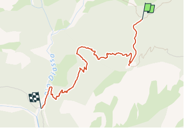

4,9 km | 12,8 km-effort

Tous les sentiers balisés d’Europe GUIDE+


Application GPS de randonnée GRATUITE
 SityTrail
IGN / Instituts géographiques
SityTrail World
Le monde est à vous
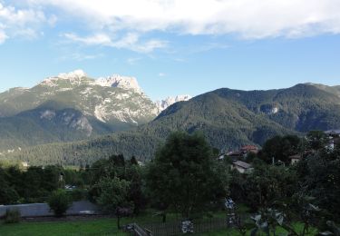
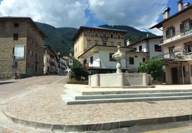
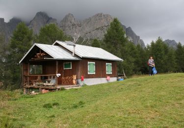
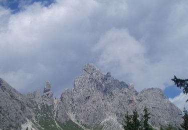
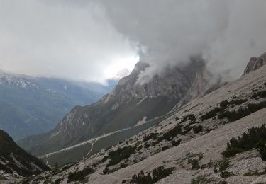
Randonnée A pied de 3,7 km à découvrir à Vénétie, Belluno, Calalzo di Cadore. Cette randonnée est proposée par SityTrail - itinéraires balisés pédestres.
Randonnée créée par Club Alpino Italiano.
Symbole: 260 on white red flag


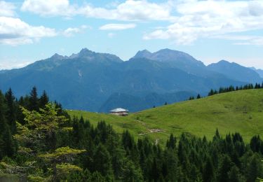
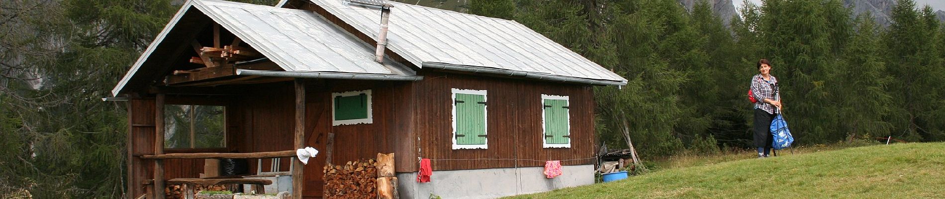
A pied

A pied
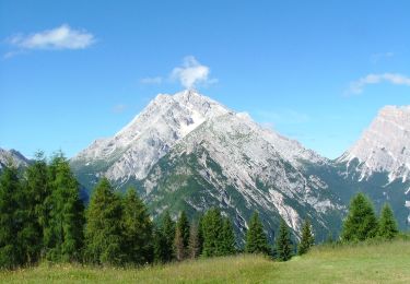
A pied
A pied
A pied
A pied
A pied
A pied