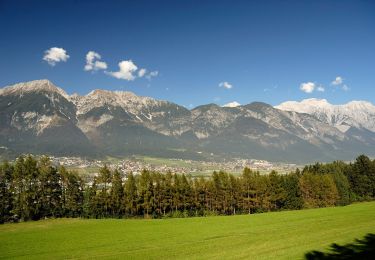
7,2 km | 10,6 km-effort
patscherkofelgipfel
philou68
Utilisateur
Longueur
6,1 km
Altitude max
2247 m
Dénivelé positif
1178 m
Km-Effort
17,9 km
Altitude min
1054 m
Dénivelé négatif
0 m
Boucle
Non
Date de création :
2022-02-15 08:44:27.013
Dernière modification :
2022-02-15 11:33:07.582
2h48
Difficulté : Moyen
Application GPS de randonnée GRATUITE
À propos
Randonnée Ski de randonnée de 6,1 km à découvrir à Tyrol, Innsbruck, Inconnu. Cette randonnée est proposée par philou68.
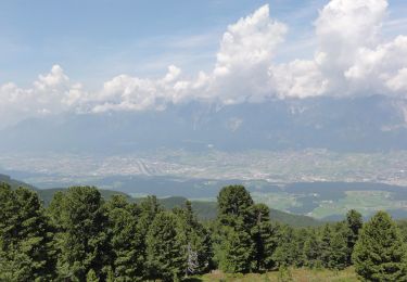
Localisation
Pays :
Autriche
Région :
Tyrol
Département/Province :
Innsbruck
Commune :
Inconnu
Localité :
Igls
Départ:(Dec)
Départ:(UTM)
683659 ; 5232381 (32T) N.
Commentaires
Randonnées à proximité
Rundwanderweg Ebenwald
A pied
Facile
Gemeinde Ampass,
Tyrol,
Bezirk Innsbruck-Land,
Autriche
8,4 km | 13,1 km-effort
2h 58min
Oui
Rundwanderweg Herztal
A pied
Facile
Gemeinde Ampass,
Tyrol,
Bezirk Innsbruck-Land,
Autriche
4,1 km | 6,1 km-effort
1h 23min
Oui
Rundwanderweg Rosengarten
A pied
Facile
Inconnu,
Tyrol,
Innsbruck,
Autriche
4,9 km | 6,6 km-effort
1h 29min
Oui
Patscherko
Marche
Facile
Gemeinde Patsch,
Tyrol,
Bezirk Innsbruck-Land,
Autriche
6,4 km | 11,6 km-effort
1h 47min
Oui
Innsbruck
Marche
Très facile
Inconnu,
Tyrol,
Innsbruck,
Autriche
17,2 km | 19,9 km-effort
2h 16min
Non