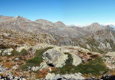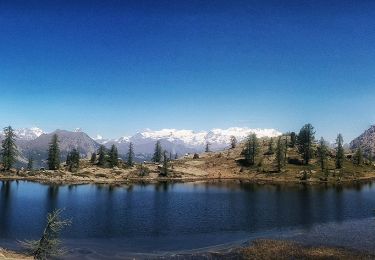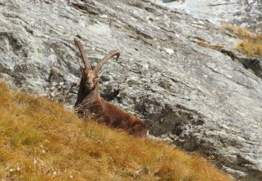

Itinerario 4 Clavalité Col de Mezove
SityTrail - itinéraires balisés pédestres
Tous les sentiers balisés d’Europe GUIDE+

Longueur
4,8 km

Altitude max
2391 m

Dénivelé positif
2 m

Km-Effort
7,4 km

Altitude min
1605 m

Dénivelé négatif
777 m
Boucle
Non
Balise
Date de création :
2022-02-15 10:30:42.795
Dernière modification :
2022-03-01 07:43:32.78
1h41
Difficulté : Facile

Application GPS de randonnée GRATUITE
À propos
Randonnée A pied de 4,8 km à découvrir à Vallée d'Aoste, Inconnu, Fénis. Cette randonnée est proposée par SityTrail - itinéraires balisés pédestres.
Description
Randonnée créée par Comune di Fenis.
Localisation
Pays :
Italie
Région :
Vallée d'Aoste
Département/Province :
Inconnu
Commune :
Fénis
Localité :
Unknown
Départ:(Dec)
Départ:(UTM)
385477 ; 5056046 (32T) N.
Commentaires
Randonnées à proximité

Alta Via n. 2 della Valle d'Aosta - Tappa 12


A pied
Facile
Champorcher,
Vallée d'Aoste,
Inconnu,
Italie

8,8 km | 11,9 km-effort
2h 42min
Non

Veulla - Colle Medzove


A pied
Facile
Fénis,
Vallée d'Aoste,
Inconnu,
Italie

12,5 km | 17,8 km-effort
4h 3min
Non

Sentiero 5C - Cuneu-Col Fussy


A pied
Facile
Champorcher,
Vallée d'Aoste,
Inconnu,
Italie

3,2 km | 5,7 km-effort
1h 18min
Non

Sentiero Ru de Chevrère et Montjovet


A pied
Facile
(1)
Champdepraz,
Vallée d'Aoste,
Inconnu,
Italie

5,6 km | 7,3 km-effort
1h 40min
Non

Sentiero 6 - GrandAlpe-Col Fenis


A pied
Facile
Fénis,
Vallée d'Aoste,
Inconnu,
Italie

3,5 km | 10,6 km-effort
2h 24min
Non

Sentiero 5 - Etzely-Col de LìEtzely


A pied
Moyen
Fénis,
Vallée d'Aoste,
Inconnu,
Italie

9,5 km | 22 km-effort
4h 53min
Non

Sentiero 8C - Bayet Superiore(1.842)-La Rossa Superiore (2.295) - E - 1h40' -...


A pied
Facile
Fénis,
Vallée d'Aoste,
Inconnu,
Italie

3,4 km | 7,4 km-effort
1h 40min
Non

Sentiero 8 - Maisonasse(1.545)-Chardonney-Praz Premier(2.036) - EE - 3h00' - ...


A pied
Facile
Fénis,
Vallée d'Aoste,
Inconnu,
Italie

4,8 km | 13,4 km-effort
3h 2min
Non


 SityTrail


