


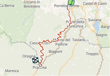

22 km | 38 km-effort

Tous les sentiers balisés d’Europe GUIDE+


Application GPS de randonnée GRATUITE
 SityTrail
IGN / Instituts géographiques
SityTrail World
Le monde est à vous
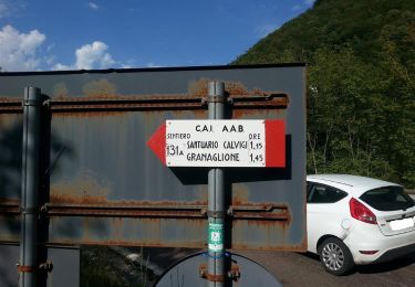
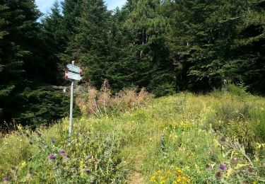
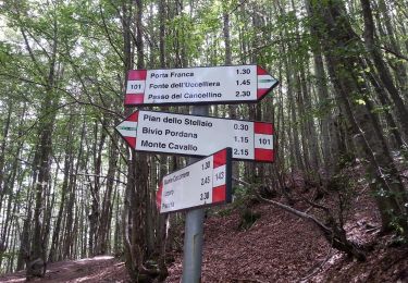
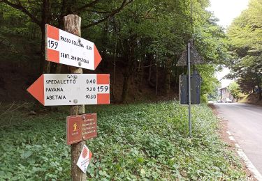
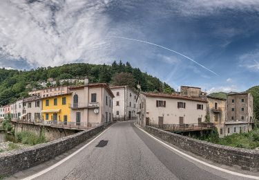
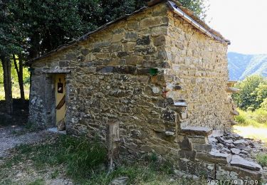
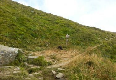
Randonnée A pied de 26 km à découvrir à Émilie-Romagne, Bologna, Alto Reno Terme. Cette randonnée est proposée par SityTrail - itinéraires balisés pédestres.
Randonnée créée par CAI Porretta Terme.


A pied
A pied
A pied
A pied
A pied
A pied
A pied
A pied