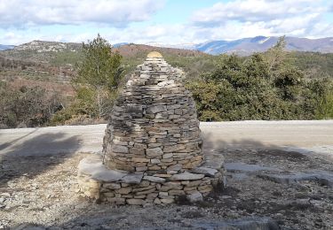
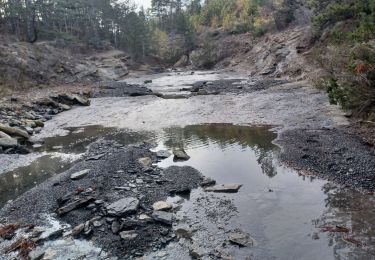
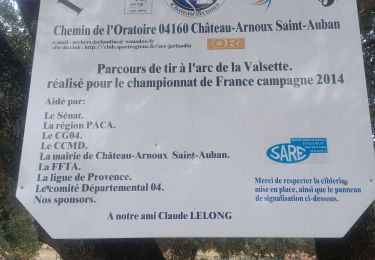
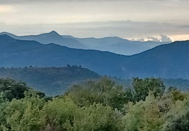
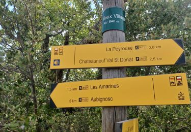
Randonnée A pied Châteauneuf-Val-Saint-Donat - Le Vieux Village - Photo

Tous les sentiers balisés d’Europe GUIDE+

© OpenStreetMap contributors
Longueur
Longueur
5,5 km
Altitude max
Altitude max
640 m
Dénivelé positif
Dénivelé positif
144 m
Km-Effort
Km-Effort  
7,4 km
Altitude min
Altitude min
542 m
Dénivelé négatif
Dénivelé négatif
135 m
Boucle
Boucle
Oui
Balise
Balise
Date de création :
2022-02-15 05:37:41.631
Dernière modification :
2022-03-02 14:23:41.58

(0 Avis)

A pied
A pied
1h41
Difficulté : Facile

Scannez ce code QR pour ouvrir la randonnée dans l'application SityTrail

Application GPS de randonnée GRATUITE

Logo SityTrail SityTrail

IGN / Instituts géographiques

Télécharger SityTrail sur l'App Store Télécharger SityTrail sur Google Play

Logo SityTrail SityTrail World

Le monde est à vous

Télécharger SityTrail sur l'App Store Télécharger SityTrail sur Google Play Télécharger SityTrail sur Huawei AppGallery

À propos

Randonnée A pied de 5,5 km à découvrir à Provence-Alpes-Côte d'Azur, Alpes-de-Haute-Provence, Châteauneuf-Val-Saint-Donat. Cette randonnée est proposée par SityTrail - itinéraires balisés pédestres.
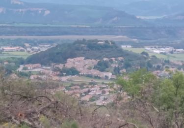
Profil altimétrique

Localisation

Pays :
France
Région :
Provence-Alpes-Côte d'Azur
Département/Province :
Alpes-de-Haute-Provence
Commune :
Châteauneuf-Val-Saint-Donat
Localité :
Unknown
Départ:(UTM)
735833 ; 4886377 (31T) N.

Randonnées à proximité

Randonnée Marche Châteauneuf-Val-Saint-Donat - Bergeries en pierres sèches - Châteauneuf Val Saint Donat - Photo
Marche
tracegps

Marche

Moyen
(2)
Châteauneuf-Val-Saint-Donat, Provence-Alpes-Côte d'Azur, Alpes-de-Haute-Provence, France
7,6 km | 11,2 km-effort
2h 19min
Oui
Randonnée Marche Château-Arnoux-Saint-Auban - CHATEAU ARNOUX.  S Jean , chemin des Bruyères,  les Grandes Côtes o l s - Photo
Marche
RobinMicheline

Marche

Moyen
(1)
Château-Arnoux-Saint-Auban, Provence-Alpes-Côte d'Azur, Alpes-de-Haute-Provence, France
14,5 km | 21 km-effort
4h 46min
Oui
Randonnée Course à pied Volonne - les 2 sommets sr Jean et tigne - Photo
Course à pied
Bruno.r

Course à pied

Moyen
(1)
Volonne, Provence-Alpes-Côte d'Azur, Alpes-de-Haute-Provence, France
10,4 km | 16,2 km-effort
1h 7min
Oui
Randonnée Marche Château-Arnoux-Saint-Auban - CHATEAU ARNOUX. CRETE DES AMARINES . CIRCUIT DES BRUYERES O L. S - Photo
Marche
RobinMicheline

Marche

Moyen
Château-Arnoux-Saint-Auban, Provence-Alpes-Côte d'Azur, Alpes-de-Haute-Provence, France
5,6 km | 7,9 km-effort
1h 45min
Oui
Randonnée V.T.T. Montfort - Montfort/Puimichel par les collines  - Photo
V.T.T.
Montfort

V.T.T.

Moyen
Montfort, Provence-Alpes-Côte d'Azur, Alpes-de-Haute-Provence, France
42 km | 53 km-effort
2h 49min
Oui
Randonnée Marche Aubignosc - jas du Mathieu - Photo
Marche
saintclair04

Marche

Moyen
(1)
Aubignosc, Provence-Alpes-Côte d'Azur, Alpes-de-Haute-Provence, France
6 km | 9,9 km-effort
2h 14min
Oui
Randonnée Marche Montfort - 2023-11-07 Tour de la Louviere et Chapelle Saint Donat - Photo
Marche
GUIDE
Kargil

Marche

Moyen
Montfort, Provence-Alpes-Côte d'Azur, Alpes-de-Haute-Provence, France
12,9 km | 16,7 km-effort
3h 47min
Oui
Randonnée Marche Aubignosc - aubignosc. les canyons. partie basse - Photo
Marche
Roger

Marche

Moyen
Aubignosc, Provence-Alpes-Côte d'Azur, Alpes-de-Haute-Provence, France
7,9 km | 11,1 km-effort
2h 50min
Oui
Randonnée Marche Aubignosc - aubignosc. Le canyon de mourieu  , partie haute  - Photo
Marche
Roger

Marche

Moyen
Aubignosc, Provence-Alpes-Côte d'Azur, Alpes-de-Haute-Provence, France
4,9 km | 6,7 km-effort
2h 20min
Oui


Fermer
Mes abonnements