


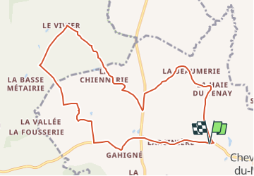

5 km | 5,8 km-effort

Tous les sentiers balisés d’Europe GUIDE+


Application GPS de randonnée GRATUITE
 SityTrail
IGN / Instituts géographiques
SityTrail World
Le monde est à vous
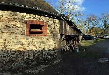
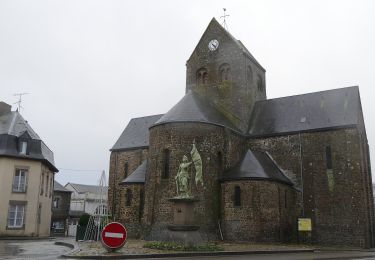
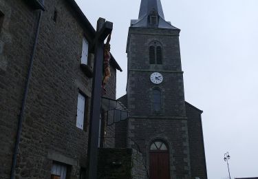
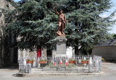
Randonnée A pied de 10,6 km à découvrir à Pays de la Loire, Mayenne, Chevaigné-du-Maine. Cette randonnée est proposée par SityTrail - itinéraires balisés pédestres.
Site web: http://randomontdesavaloirs.free.fr/


A pied
A pied

A pied
A pied
A pied
A pied
A pied
A pied
A pied