


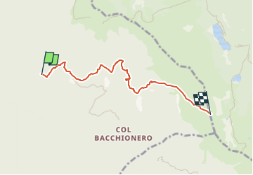

18,5 km | 28 km-effort

Tous les sentiers balisés d’Europe GUIDE+


Application GPS de randonnée GRATUITE
 SityTrail
IGN / Instituts géographiques
SityTrail World
Le monde est à vous
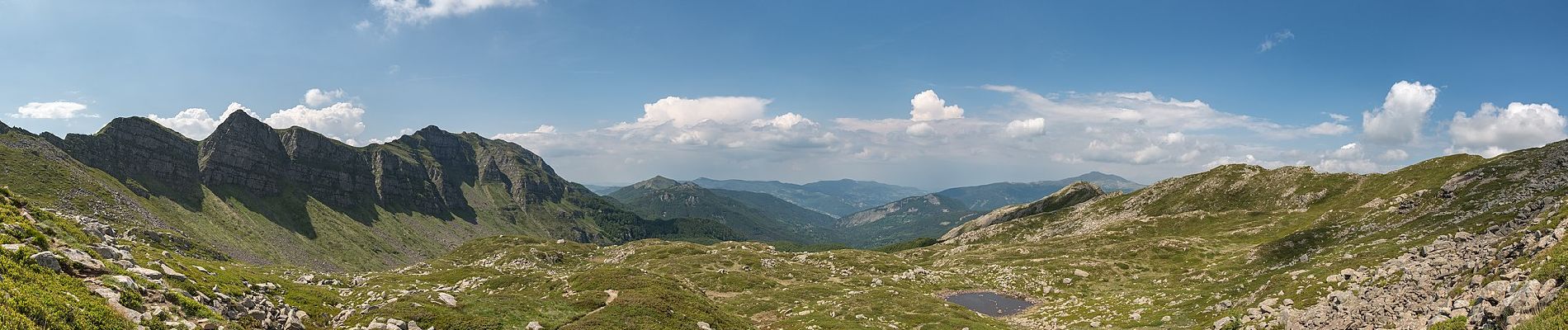
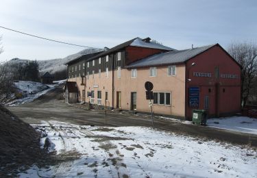
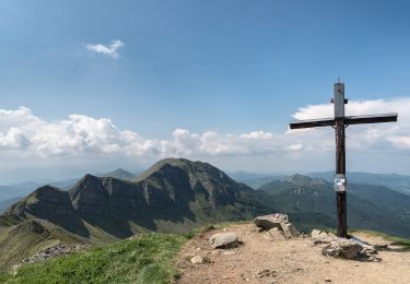
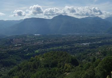
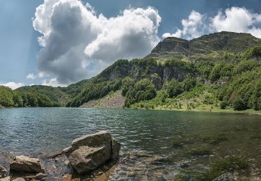
Randonnée A pied de 5,1 km à découvrir à Toscane, Lucca, Barga. Cette randonnée est proposée par SityTrail - itinéraires balisés pédestres.
Randonnée créée par CAI Barga.
Symbole: red square and white bar with black text


A pied
A pied
A pied
A pied

A pied
A pied