![](/images/other/stat-length.png)
![Randonnée A pied Lerici - San Terenzo - Pozzuolo – sella Pin Bon – Trebiano - Photo](https://media.geolcdn.com/t/1900/400/6310cab5-08ac-4700-bbde-70d1c057af88.jpeg&format=pjpeg&maxdim=2)
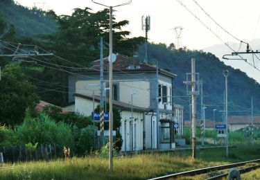
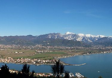
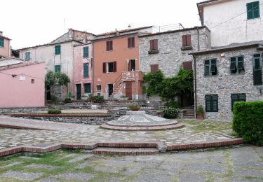
San Terenzo - Pozzuolo – sella Pin Bon – Trebiano
SityTrail - itinéraires balisés pédestres
Tous les sentiers balisés d’Europe GUIDE+
![Longueur](/images/other/stat-length.png)
Longueur
5,9 km
![Altitude max](https://static1.geolcdn.com/siteimages/upload/files/1508320355ic_sort_altitude_max_24dp.png)
Altitude max
282 m
![Dénivelé positif](https://static1.geolcdn.com/siteimages/upload/files/1508320355ic_sort_den_pos_24dp.png)
Dénivelé positif
315 m
![Km-Effort](/images/other/stat-length.png)
Km-Effort
9,6 km
![Altitude min](https://static1.geolcdn.com/siteimages/upload/files/1508320355ic_sort_altitude_min_24dp.png)
Altitude min
12 m
![Dénivelé négatif](https://static1.geolcdn.com/siteimages/upload/files/1508320355ic_sort_den_neg_24dp.png)
Dénivelé négatif
163 m
![Boucle](https://static1.geolcdn.com/siteimages/upload/files/16400158638029165_repeat_loop_refresh_sync_direction_icon.png)
Boucle
Non
Balise
Date de création :
2022-02-15 03:48:46.702
Dernière modification :
2022-03-01 00:36:22.707
![A pied](https://static1.geolcdn.com/sitytour/trail-icons/100.png)
2h11
Difficulté : Facile
![Scannez ce code QR pour ouvrir la randonnée dans l'application SityTrail](https://capi.geolives.com/qq0zvz2zws4bq2lad0pu/sitytour/trails/3114665/qr.png?size=200)
Application GPS de randonnée GRATUITE
À propos
Randonnée A pied de 5,9 km à découvrir à Ligurie, La Spezia, Lerici. Cette randonnée est proposée par SityTrail - itinéraires balisés pédestres.
Description
relation mantained by AlfredoSP (CAI-SP)
Symbole: 413 on white red flag
Site web: https://www.cailaspezia.it/
Localisation
Pays :
Italie
Région :
Ligurie
Département/Province :
La Spezia
Commune :
Lerici
Localité :
Unknown
Départ:(Dec)
Départ:(UTM)
571748 ; 4881514 (32T) N.
Commentaires
Randonnées à proximité
![Randonnée A pied Arcola - Alta Via del Golfo: Il Termo - La Foce - Photo](https://media.geolcdn.com/t/375/260/ba716d0b-b060-4db4-8fd9-8ae9862dae50.jpeg&format=jpg&maxdim=2)
![A pied A pied](https://static1.geolcdn.com/sitytour/trail-icons/100.png)
Alta Via del Golfo: Il Termo - La Foce
A pied
Moyen
Arcola,
Ligurie,
La Spezia,
Italie
![](/images/other/stat-length.png)
14,1 km | 21 km-effort
4h 44min
![](https://static1.geolcdn.com/siteimages/upload/files/16400158638029165_repeat_loop_refresh_sync_direction_icon.png)
Non
![Randonnée A pied Lerici - Fornola – Senato (percorso fluviale) - Photo](https://media.geolcdn.com/t/375/260/b4b9300e-2228-4e6b-9c90-124177370540.jpeg&format=jpg&maxdim=2)
![A pied A pied](https://static1.geolcdn.com/sitytour/trail-icons/100.png)
Fornola – Senato (percorso fluviale)
A pied
Facile
Lerici,
Ligurie,
La Spezia,
Italie
![](/images/other/stat-length.png)
7 km | 7,6 km-effort
1h 43min
![](https://static1.geolcdn.com/siteimages/upload/files/16400158638029165_repeat_loop_refresh_sync_direction_icon.png)
Non
![Randonnée A pied Lerici - Bocca Di Magra - Montemarcello - Zanego – Lerici - Photo](https://media.geolcdn.com/t/375/260/cf18f3f4-9fd8-4156-a139-22fd53547865.jpeg&format=jpg&maxdim=2)
![A pied A pied](https://static1.geolcdn.com/sitytour/trail-icons/100.png)
Bocca Di Magra - Montemarcello - Zanego – Lerici
A pied
Facile
Lerici,
Ligurie,
La Spezia,
Italie
![](/images/other/stat-length.png)
4,9 km | 8 km-effort
1h 49min
![](https://static1.geolcdn.com/siteimages/upload/files/16400158638029165_repeat_loop_refresh_sync_direction_icon.png)
Non
![Randonnée A pied Lerici - La Ferrara - Foce di Lizzano - Ameglia - Rocchetta - La Serra - Photo](https://media.geolcdn.com/t/375/260/54b61895-c346-4124-a438-eb1cca72afcf.jpeg&format=jpg&maxdim=2)
![A pied A pied](https://static1.geolcdn.com/sitytour/trail-icons/100.png)
La Ferrara - Foce di Lizzano - Ameglia - Rocchetta - La Serra
A pied
Facile
Lerici,
Ligurie,
La Spezia,
Italie
![](/images/other/stat-length.png)
7,1 km | 11,3 km-effort
2h 34min
![](https://static1.geolcdn.com/siteimages/upload/files/16400158638029165_repeat_loop_refresh_sync_direction_icon.png)
Non
![Randonnée A pied Lerici - Montemarcello – Zanego – Trebiano - Photo](https://media.geolcdn.com/t/375/260/6310cab5-08ac-4700-bbde-70d1c057af88.jpeg&format=jpg&maxdim=2)
![A pied A pied](https://static1.geolcdn.com/sitytour/trail-icons/100.png)
Montemarcello – Zanego – Trebiano
A pied
Facile
Lerici,
Ligurie,
La Spezia,
Italie
![](/images/other/stat-length.png)
5,9 km | 8,8 km-effort
2h 0min
![](https://static1.geolcdn.com/siteimages/upload/files/16400158638029165_repeat_loop_refresh_sync_direction_icon.png)
Non
![Randonnée A pied - Via Veneto – Vailunga – Toracca – Isola – Montalbano - Photo](https://media.geolcdn.com/t/375/260/99d9a183-7bc2-4487-a650-5aafb25f5f6b.jpeg&format=jpg&maxdim=2)
![A pied A pied](https://static1.geolcdn.com/sitytour/trail-icons/100.png)
Via Veneto – Vailunga – Toracca – Isola – Montalbano
A pied
Facile
,
Ligurie,
La Spezia,
Italie
![](/images/other/stat-length.png)
4,9 km | 8,8 km-effort
1h 59min
![](https://static1.geolcdn.com/siteimages/upload/files/16400158638029165_repeat_loop_refresh_sync_direction_icon.png)
Non
![Randonnée A pied Portovenere - Isola Palmaria (giro dell'isola) - Photo](https://media.geolcdn.com/t/375/260/1c69b59e-f408-4789-9002-54b9defc08e9.jpeg&format=jpg&maxdim=2)
![A pied A pied](https://static1.geolcdn.com/sitytour/trail-icons/100.png)
Isola Palmaria (giro dell'isola)
A pied
Facile
Portovenere,
Ligurie,
La Spezia,
Italie
![](/images/other/stat-length.png)
6 km | 9,7 km-effort
2h 12min
![](https://static1.geolcdn.com/siteimages/upload/files/16400158638029165_repeat_loop_refresh_sync_direction_icon.png)
Oui
![Randonnée Marche Portovenere - Porto Venere - Riomaggiore 5.5.23 - Photo](https://media.geolcdn.com/t/375/260/2ed1d12f-7711-4a06-8c7a-0148588c10f4.jpg&format=jpg&maxdim=2)
![Marche Marche](https://static1.geolcdn.com/sitytour/trail-icons/101.png)
Porto Venere - Riomaggiore 5.5.23
Marche
Difficile
Portovenere,
Ligurie,
La Spezia,
Italie
![](/images/other/stat-length.png)
13,2 km | 23 km-effort
4h 30min
![](https://static1.geolcdn.com/siteimages/upload/files/16400158638029165_repeat_loop_refresh_sync_direction_icon.png)
Non
![Randonnée Marche Portovenere - Porte Venere to Riomaggiore - Photo](https://media.geolcdn.com/t/375/260/6e0cac46-b1bd-4703-90c2-57a8cf4ba20d.jpg&format=jpg&maxdim=2)
![Marche Marche](https://static1.geolcdn.com/sitytour/trail-icons/101.png)
Porte Venere to Riomaggiore
Marche
Difficile
(2)
Portovenere,
Ligurie,
La Spezia,
Italie
![](/images/other/stat-length.png)
13,8 km | 24 km-effort
4h 48min
![](https://static1.geolcdn.com/siteimages/upload/files/16400158638029165_repeat_loop_refresh_sync_direction_icon.png)
Non