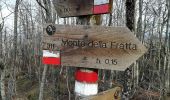

IT-311
SityTrail - itinéraires balisés pédestres
Tous les sentiers balisés d’Europe GUIDE+

Longueur
7,1 km

Altitude max
1119 m

Dénivelé positif
109 m

Km-Effort
10,4 km

Altitude min
525 m

Dénivelé négatif
676 m
Boucle
Non
Balise
Date de création :
2022-02-15 03:14:19.216
Dernière modification :
2022-03-01 00:00:00.514
2h21
Difficulté : Facile

Application GPS de randonnée GRATUITE
À propos
Randonnée A pied de 7,1 km à découvrir à Émilie-Romagne, Forlì-Cesena, Premilcuore. Cette randonnée est proposée par SityTrail - itinéraires balisés pédestres.
Description
Randonnée créée par CAI Forlì.
Symbole: 311 on white red flag
Site web: http://www.caiforli.it/
Localisation
Pays :
Italie
Région :
Émilie-Romagne
Département/Province :
Forlì-Cesena
Commune :
Premilcuore
Localité :
Unknown
Départ:(Dec)
Départ:(UTM)
724162 ; 4869432 (32T) N.
Commentaires
Randonnées à proximité
Il Monte Tiravento


A pied
Moyen
Premilcuore,
Émilie-Romagne,
Forlì-Cesena,
Italie

15,6 km | 27 km-effort
6h 6min
Oui

Per vedere la valle del Giardino


A pied
Facile
Santa Sofia,
Émilie-Romagne,
Forlì-Cesena,
Italie

11,8 km | 19,7 km-effort
4h 28min
Non
I Monti Gemelli


A pied
Moyen
Premilcuore,
Émilie-Romagne,
Forlì-Cesena,
Italie

16,9 km | 30 km-effort
6h 42min
Oui
Solitari altopiani nella valle del Bidente


A pied
Très difficile
Santa Sofia,
Émilie-Romagne,
Forlì-Cesena,
Italie

44 km | 74 km-effort
16h 46min
Oui
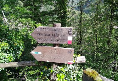
IT-417


A pied
Facile
Premilcuore,
Émilie-Romagne,
Forlì-Cesena,
Italie

4,8 km | 7,1 km-effort
1h 36min
Non

IT-317


A pied
Facile
Premilcuore,
Émilie-Romagne,
Forlì-Cesena,
Italie

3,4 km | 4,9 km-effort
1h 6min
Non
IT-421


A pied
Facile
Premilcuore,
Émilie-Romagne,
Forlì-Cesena,
Italie

4,2 km | 6,6 km-effort
1h 29min
Non
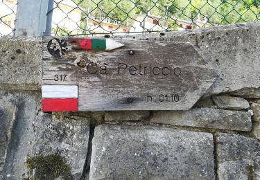
IT-R6


A pied
Facile
Premilcuore,
Émilie-Romagne,
Forlì-Cesena,
Italie

3,6 km | 8,5 km-effort
1h 56min
Non
Un panoramico doppio anello sul Bidente delle Celle


A pied
Moyen
Santa Sofia,
Émilie-Romagne,
Forlì-Cesena,
Italie

17,9 km | 28 km-effort
6h 18min
Oui


 SityTrail


