


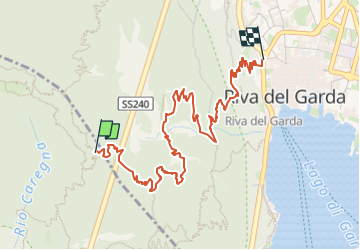

4,7 km | 11,3 km-effort


Tous les sentiers balisés d’Europe GUIDE+


Application GPS de randonnée GRATUITE
 SityTrail
IGN / Instituts géographiques
SityTrail World
Le monde est à vous
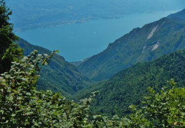
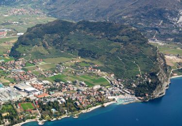
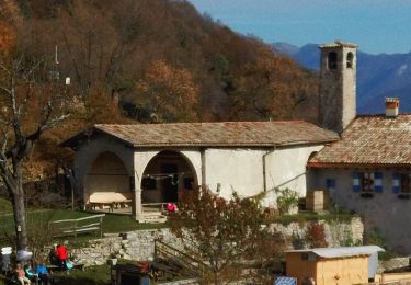
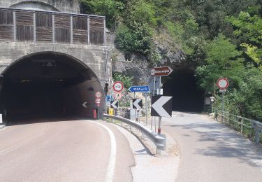
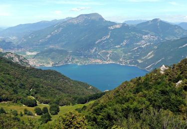
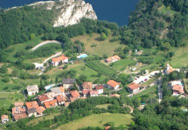
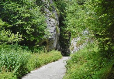
Randonnée A pied de 4,9 km à découvrir à Trentin-Haut-Adige, Provincia di Trento, Ledro. Cette randonnée est proposée par SityTrail - itinéraires balisés pédestres.
Randonnée créée par Società degli Alpinisti Tridentini.
Site web: http://www.sat.tn.it/


A pied
A pied
A pied
A pied
A pied
A pied
A pied
A pied
A pied