![](/images/other/stat-length.png)
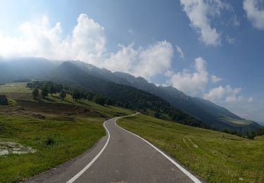
![Randonnée A pied Malcesine - Il Signor- Prai - Bocca di Navene - Photo](https://media.geolcdn.com/t/1900/400/98998bc8-5bd6-4599-a608-a554e86f7e61.jpeg&format=pjpeg&maxdim=2)
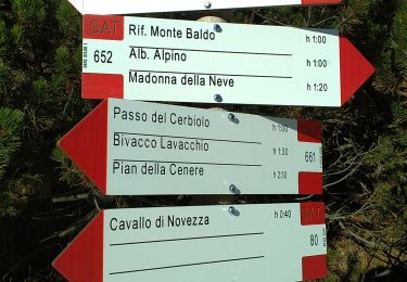
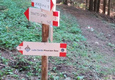
Il Signor- Prai - Bocca di Navene
SityTrail - itinéraires balisés pédestres
Tous les sentiers balisés d’Europe GUIDE+
![Longueur](/images/other/stat-length.png)
![Altitude max](https://static1.geolcdn.com/siteimages/upload/files/1508320355ic_sort_altitude_max_24dp.png)
![Dénivelé positif](https://static1.geolcdn.com/siteimages/upload/files/1508320355ic_sort_den_pos_24dp.png)
![Km-Effort](/images/other/stat-length.png)
![Altitude min](https://static1.geolcdn.com/siteimages/upload/files/1508320355ic_sort_altitude_min_24dp.png)
![Dénivelé négatif](https://static1.geolcdn.com/siteimages/upload/files/1508320355ic_sort_den_neg_24dp.png)
![Boucle](https://static1.geolcdn.com/siteimages/upload/files/16400158638029165_repeat_loop_refresh_sync_direction_icon.png)
![A pied](https://static1.geolcdn.com/sitytour/trail-icons/100.png)
2h31
Difficulté : Facile
![Scannez ce code QR pour ouvrir la randonnée dans l'application SityTrail](https://capi.geolives.com/qq0zvz2zws4bq2lad0pu/sitytour/trails/3112008/qr.png?size=200)
Application GPS de randonnée GRATUITE
À propos
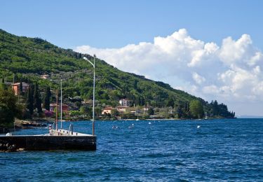
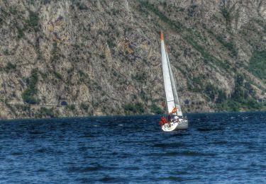
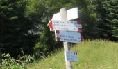
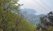
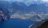
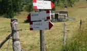
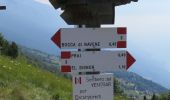
Randonnée A pied de 5 km à découvrir à Vénétie, Verona, Malcesine. Cette randonnée est proposée par SityTrail - itinéraires balisés pédestres.
Description
Randonnée créée par Club Alpino Italiano Sezione Cesare Battisti di Verona.
relation mantained by Club Alpino Italiano Sezione Cesare Battisti di Verona, before making changes contact the CAI structure
Symbole: 3 on white red flag
Site web: https://www.cesarebattisti.org/
Localisation
Commentaires
Randonnées à proximité
![Randonnée A pied Malcesine - Sentiero delle Creste - Photo](https://media.geolcdn.com/t/375/260/96362f89-dd5f-48cd-afb7-948e16a28761.jpeg&format=jpg&maxdim=2)
![A pied A pied](https://static1.geolcdn.com/sitytour/trail-icons/100.png)
A pied
![](/images/other/stat-length.png)
![](https://static1.geolcdn.com/siteimages/upload/files/16400158638029165_repeat_loop_refresh_sync_direction_icon.png)
![Randonnée A pied Avio - Sentiero Bovi - Photo](https://media.geolcdn.com/t/375/260/4702fb67-6073-457f-bd90-e77faeb3b6e8.jpeg&format=jpg&maxdim=2)
![A pied A pied](https://static1.geolcdn.com/sitytour/trail-icons/100.png)
A pied
![](/images/other/stat-length.png)
![](https://static1.geolcdn.com/siteimages/upload/files/16400158638029165_repeat_loop_refresh_sync_direction_icon.png)
![Randonnée A pied Brentonico - IT-O654 - Photo](https://media.geolcdn.com/t/375/260/471fd94c-bd42-437a-9cd8-0693f7690595.jpeg&format=jpg&maxdim=2)
![A pied A pied](https://static1.geolcdn.com/sitytour/trail-icons/100.png)
A pied
![](/images/other/stat-length.png)
![](https://static1.geolcdn.com/siteimages/upload/files/16400158638029165_repeat_loop_refresh_sync_direction_icon.png)
![Randonnée A pied Malcesine - Sentiero dei Contrabbandieri - Photo](https://media.geolcdn.com/t/375/260/0e6bbf8c-55c7-41ad-9c5c-f40442f04643.jpeg&format=jpg&maxdim=2)
![A pied A pied](https://static1.geolcdn.com/sitytour/trail-icons/100.png)
A pied
![](/images/other/stat-length.png)
![](https://static1.geolcdn.com/siteimages/upload/files/16400158638029165_repeat_loop_refresh_sync_direction_icon.png)
![Randonnée A pied Malcesine - Cassone - San Maggiore innesto panoramica Malcesine - Photo](https://media.geolcdn.com/t/375/260/9586c757-ce43-486c-8c78-e9c35c2e3b7a.jpeg&format=jpg&maxdim=2)
![A pied A pied](https://static1.geolcdn.com/sitytour/trail-icons/100.png)
A pied
![](/images/other/stat-length.png)
![](https://static1.geolcdn.com/siteimages/upload/files/16400158638029165_repeat_loop_refresh_sync_direction_icon.png)
![Randonnée A pied Avio - IT-O653 - Photo](https://media.geolcdn.com/t/375/260/c834329a-4f85-48e9-88a3-5c81261c1f1c.jpeg&format=jpg&maxdim=2)
![A pied A pied](https://static1.geolcdn.com/sitytour/trail-icons/100.png)
A pied
![](/images/other/stat-length.png)
![](https://static1.geolcdn.com/siteimages/upload/files/16400158638029165_repeat_loop_refresh_sync_direction_icon.png)
![Randonnée A pied Avio - Strada della Selva - Photo](https://media.geolcdn.com/t/375/260/3bc72d60-99ce-4795-a7d5-6e1a5b976b8b.jpeg&format=jpg&maxdim=2)
![A pied A pied](https://static1.geolcdn.com/sitytour/trail-icons/100.png)
A pied
![](/images/other/stat-length.png)
![](https://static1.geolcdn.com/siteimages/upload/files/16400158638029165_repeat_loop_refresh_sync_direction_icon.png)
![Randonnée A pied Malcesine - Cassone - Pai di Sopra - Photo](https://media.geolcdn.com/t/375/260/07262133-3a69-4891-bb62-13ad1ac80ae1.jpeg&format=jpg&maxdim=2)
![A pied A pied](https://static1.geolcdn.com/sitytour/trail-icons/100.png)
A pied
![](/images/other/stat-length.png)
![](https://static1.geolcdn.com/siteimages/upload/files/16400158638029165_repeat_loop_refresh_sync_direction_icon.png)
![Randonnée A pied Malcesine - Navene - Bocca di Navene inn. sent. 651 - Photo](https://media.geolcdn.com/t/375/260/5fda416f-890b-4937-a005-cc5453fc5dd8.jpeg&format=jpg&maxdim=2)
![A pied A pied](https://static1.geolcdn.com/sitytour/trail-icons/100.png)
A pied
![](/images/other/stat-length.png)
![](https://static1.geolcdn.com/siteimages/upload/files/16400158638029165_repeat_loop_refresh_sync_direction_icon.png)