


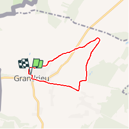


6,7 km | 7,9 km-effort
Randonnées au coeur d'une nature préservée GUIDE+


Application GPS de randonnée GRATUITE
 SityTrail
IGN / Instituts géographiques
SityTrail World
Le monde est à vous
Randonnée Marche de 4,9 km à découvrir à Wallonie, Hainaut, Sivry-Rance. Cette randonnée est proposée par La Forêt du Pays de Chimay.
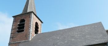
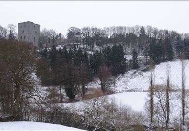
Au départ de l'église, cette promenade au milieu des champs vous conduira sur les hauteurs du village d'où de belles vues se dégagent vers Beaumont et Grandrieu.
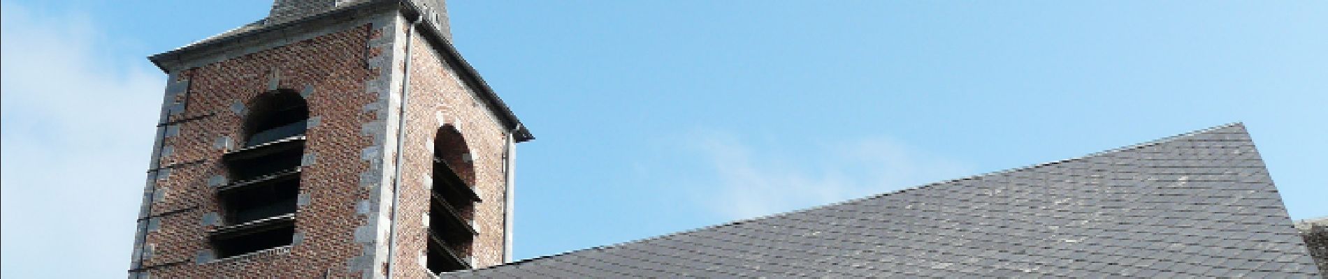
 - Grandrieu - Promenade de Belle Vue - Photo 1")
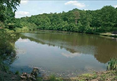
 - Grandrieu - Promenade de Belle Vue - Photo 2")

Marche
Marche
Marche

V.T.C.

Marche

Vélo

Marche
Marche
A pied