


21 km | 26 km-effort
Randonnées au coeur d'une nature préservée GUIDE+


Application GPS de randonnée GRATUITE
 SityTrail
IGN / Instituts géographiques
SityTrail World
Le monde est à vous
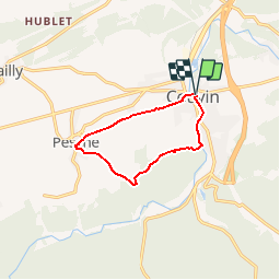
Randonnée Marche de 8,1 km à découvrir à Wallonie, Namur, Couvin. Cette randonnée est proposée par La Forêt du Pays de Chimay.
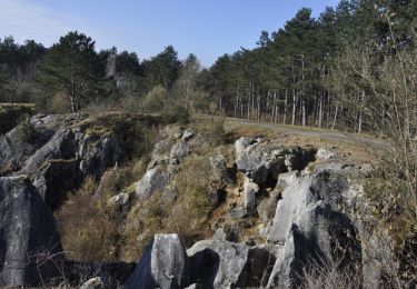
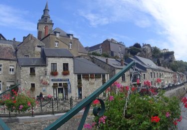
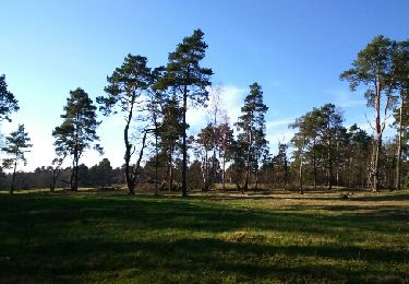
Partez à la découverte du village de Pesche à travers bois et champs.
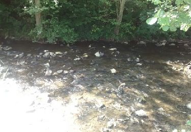
Une très chouette balade qui vous emmènera de Pesche à Couvin par un chemin campagnard. Vous suivrez alors l'Eau Noire pour vous rendre à la Platinerie où un chemin à travers bois et verger vous attend pour la suite de votre périple. Arrivé à Pesche, au lieu-dit la Butte, vous bénéficierez d'un superbe point de vue sur ce village.
Arbres/flore : vieux tilleuls
Faune : martin-pêcheur, cincle plongeur, bergeronnette des ruisseaux, héron cendré
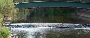
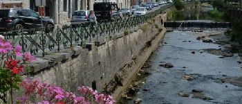
Plans d’eau : l’Eau Noire
 18 - Circuit de la Butte - Photo 1")
 18 - Circuit de la Butte - Photo 2")
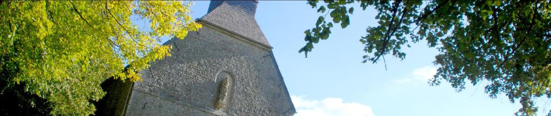
 18 - Circuit de la Butte - Photo 3")
Marche

Marche
Marche

Vélo

Marche
Marche

Marche

Marche
Marche nordique
Première partie super. Retour macadam. Dommage.