


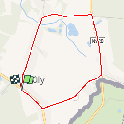


5,6 km | 6 km-effort
Randonnées au coeur d'une nature préservée GUIDE+


Application GPS de randonnée GRATUITE
 SityTrail
IGN / Instituts géographiques
SityTrail World
Le monde est à vous
Randonnée Marche de 3,6 km à découvrir à Wallonie, Namur, Couvin. Cette randonnée est proposée par La Forêt du Pays de Chimay.
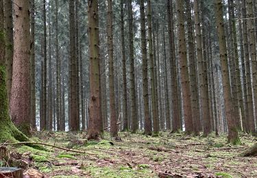
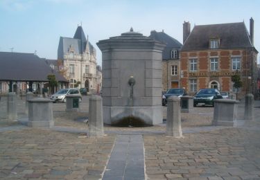
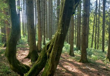
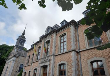
Arbres/flore : nombreux arbres remarquables (hêtre – marronnier tilleul). Rue TryPochaux et place Charles Claes
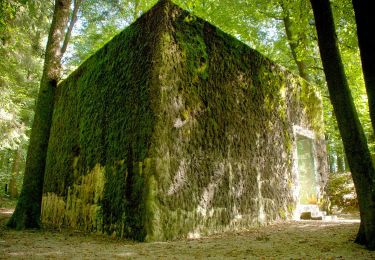
 08 - Promenade du Moulin Manteau - Photo 1")
 08 - Promenade du Moulin Manteau - Photo 2")
 08 - Promenade du Moulin Manteau - Photo 3")
 08 - Promenade du Moulin Manteau - Photo 4")
A pied
Marche

Marche nordique
Marche

Marche
Marche
Marche
Marche