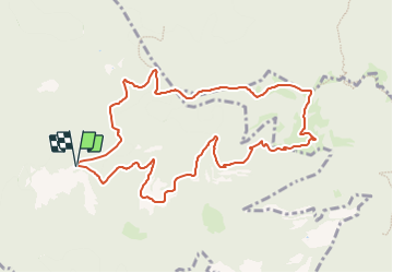
![](/images/other/stat-length.png)
![Randonnée A pied Ripoll - De Llaés al Castell de Milany - Photo](https://media.geolcdn.com/t/1900/400/5ea86a06-c927-4305-a253-04e3a28b9860.jpeg&format=pjpeg&maxdim=2)
De Llaés al Castell de Milany
SityTrail - itinéraires balisés pédestres
Tous les sentiers balisés d’Europe GUIDE+
![Longueur](/images/other/stat-length.png)
![Altitude max](https://static1.geolcdn.com/siteimages/upload/files/1508320355ic_sort_altitude_max_24dp.png)
![Dénivelé positif](https://static1.geolcdn.com/siteimages/upload/files/1508320355ic_sort_den_pos_24dp.png)
![Km-Effort](/images/other/stat-length.png)
![Altitude min](https://static1.geolcdn.com/siteimages/upload/files/1508320355ic_sort_altitude_min_24dp.png)
![Dénivelé négatif](https://static1.geolcdn.com/siteimages/upload/files/1508320355ic_sort_den_neg_24dp.png)
![Boucle](https://static1.geolcdn.com/siteimages/upload/files/16400158638029165_repeat_loop_refresh_sync_direction_icon.png)
![A pied](https://static1.geolcdn.com/sitytour/trail-icons/100.png)
4h17
Difficulté : Facile
![Scannez ce code QR pour ouvrir la randonnée dans l'application SityTrail](https://capi.geolives.com/qq0zvz2zws4bq2lad0pu/sitytour/trails/3110551/qr.png?size=200)
Application GPS de randonnée GRATUITE
À propos
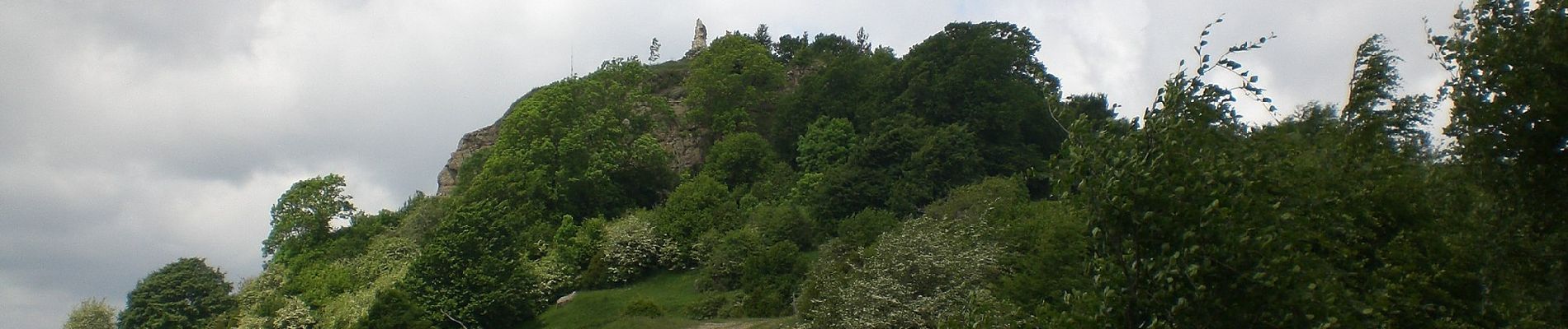
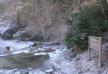
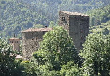
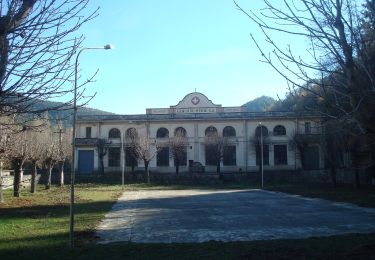
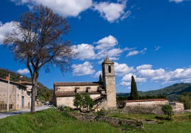
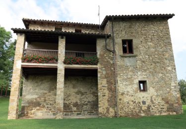
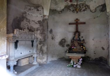
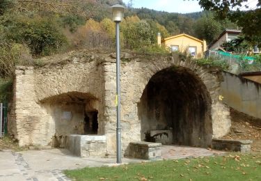
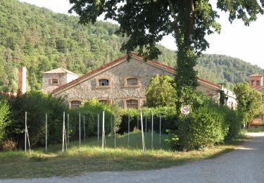
Randonnée A pied de 11,2 km à découvrir à Catalogne, Gérone, Ripoll. Cette randonnée est proposée par SityTrail - itinéraires balisés pédestres.
Description
Excursions i rutes itineraris marcats: GR,via verda, parcs naturals, saludables...sortides amb nens
Site web: https://www.itinerannia.net/ca/itineraris/de-llaes-al-castell-de-milany-per-camins-entre-cingleres-i-baumes-ruta-14-ripolles/
Localisation
Commentaires
Randonnées à proximité
![Randonnée A pied Ripoll - Llaés, balmes - Photo](https://media.geolcdn.com/t/375/260/7fd2fa7e-5dfc-4fc3-ab58-d624fed6db7b.jpeg&format=jpg&maxdim=2)
![A pied A pied](https://static1.geolcdn.com/sitytour/trail-icons/100.png)
A pied
![](/images/other/stat-length.png)
![](https://static1.geolcdn.com/siteimages/upload/files/16400158638029165_repeat_loop_refresh_sync_direction_icon.png)
![Randonnée A pied Vallfogona de Ripollès - Trescant per la Serra de Puig d'Estela - Photo](https://media.geolcdn.com/t/375/260/071fbfc8-daa6-493b-9605-7362b73ea50d.jpeg&format=jpg&maxdim=2)
![A pied A pied](https://static1.geolcdn.com/sitytour/trail-icons/100.png)
A pied
![](/images/other/stat-length.png)
![](https://static1.geolcdn.com/siteimages/upload/files/16400158638029165_repeat_loop_refresh_sync_direction_icon.png)
![Randonnée A pied Montesquiu - SL-C 130 Sant Moí - Photo](https://media.geolcdn.com/t/375/260/dbf7e8b7-0349-47e1-9db6-16f30cab4bbb.jpeg&format=jpg&maxdim=2)
![A pied A pied](https://static1.geolcdn.com/sitytour/trail-icons/100.png)
A pied
![](/images/other/stat-length.png)
![](https://static1.geolcdn.com/siteimages/upload/files/16400158638029165_repeat_loop_refresh_sync_direction_icon.png)
![Randonnée A pied Montesquiu - SL-C 129 Del Castell de Montesqui al Castell de Besora - Photo](https://media.geolcdn.com/t/375/260/ef37c7b6-e5b8-42e8-bb6e-817e98273663.jpeg&format=jpg&maxdim=2)
![A pied A pied](https://static1.geolcdn.com/sitytour/trail-icons/100.png)
A pied
![](/images/other/stat-length.png)
![](https://static1.geolcdn.com/siteimages/upload/files/16400158638029165_repeat_loop_refresh_sync_direction_icon.png)
![Randonnée A pied Montesquiu - PR-C 214 Serra dels Bufadors - Photo](https://media.geolcdn.com/t/375/260/996affe6-1900-4d14-b422-8ab8ff77c12c.jpeg&format=jpg&maxdim=2)
![A pied A pied](https://static1.geolcdn.com/sitytour/trail-icons/100.png)
A pied
![](/images/other/stat-length.png)
![](https://static1.geolcdn.com/siteimages/upload/files/16400158638029165_repeat_loop_refresh_sync_direction_icon.png)
![Randonnée A pied Sora - Obaga de les Codines - Photo](https://media.geolcdn.com/t/375/260/84e7c988-678c-4d40-9d82-36193bd2d9ff.jpeg&format=jpg&maxdim=2)
![A pied A pied](https://static1.geolcdn.com/sitytour/trail-icons/100.png)
A pied
![](/images/other/stat-length.png)
![](https://static1.geolcdn.com/siteimages/upload/files/16400158638029165_repeat_loop_refresh_sync_direction_icon.png)
![Randonnée A pied Montesquiu - Castell de Montesqiu-Coll dels Tres Pins - Photo](https://media.geolcdn.com/t/375/260/996affe6-1900-4d14-b422-8ab8ff77c12c.jpeg&format=jpg&maxdim=2)
![A pied A pied](https://static1.geolcdn.com/sitytour/trail-icons/100.png)
A pied
![](/images/other/stat-length.png)
![](https://static1.geolcdn.com/siteimages/upload/files/16400158638029165_repeat_loop_refresh_sync_direction_icon.png)
![Randonnée A pied Ripoll - Camí Ral de Vallfogona a Ripoll - Photo](https://media.geolcdn.com/t/375/260/1ef42ab2-3c00-4009-a837-e4637a5e5577.jpeg&format=jpg&maxdim=2)
![A pied A pied](https://static1.geolcdn.com/sitytour/trail-icons/100.png)
A pied
![](/images/other/stat-length.png)
![](https://static1.geolcdn.com/siteimages/upload/files/16400158638029165_repeat_loop_refresh_sync_direction_icon.png)
![Randonnée A pied Ripoll - SL-C 13 Ripoll-Sant Antoni - Photo](https://media.geolcdn.com/t/375/260/0b0d0654-77e7-4a62-8b86-786114f92243.jpeg&format=jpg&maxdim=2)
![A pied A pied](https://static1.geolcdn.com/sitytour/trail-icons/100.png)
A pied
![](/images/other/stat-length.png)
![](https://static1.geolcdn.com/siteimages/upload/files/16400158638029165_repeat_loop_refresh_sync_direction_icon.png)