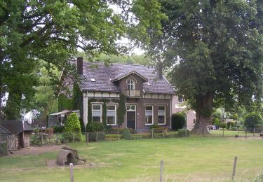
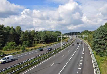
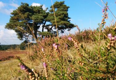
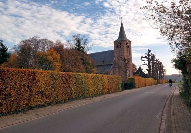
Randonnée A pied Apeldoorn - Loenense Enkenpad - Photo

Tous les sentiers balisés d’Europe GUIDE+

© OpenStreetMap contributors
Longueur
Longueur
9,3 km
Altitude max
Altitude max
52 m
Dénivelé positif
Dénivelé positif
91 m
Km-Effort
Km-Effort  
10,6 km
Altitude min
Altitude min
12 m
Dénivelé négatif
Dénivelé négatif
98 m
Boucle
Boucle
Non
Balise
Balise
Date de création :
2022-02-14 15:36:10.565
Dernière modification :
2022-02-14 15:36:10.565

(0 Avis)

A pied
A pied
2h24
Difficulté : Facile

Scannez ce code QR pour ouvrir la randonnée dans l'application SityTrail

Application GPS de randonnée GRATUITE

Logo SityTrail SityTrail
IGN / Instituts géographiques

Télécharger SityTrail sur l'App Store Télécharger SityTrail sur Google Play

Logo SityTrail SityTrail World
Le monde est à vous

Télécharger SityTrail sur l'App Store Télécharger SityTrail sur Google Play Télécharger SityTrail sur Huawei AppGallery

À propos

Randonnée A pied de 9,3 km à découvrir à Gueldre, Inconnu, Apeldoorn. Cette randonnée est proposée par SityTrail - itinéraires balisés pédestres.

Description

Randonnée créée par klompenpaden.nl.

Het wandelpad loopt gedeeltelijk over particulier terrein, waar soms vee loopt. Om de dieren niet te verstoren en verspreiding van dierziekten te voorkomen zijn honden verboden.

Symbole: Bruine klompen / Brown wooden shoes


Site web: https://klompenpaden.nl/klompenpad/loenense-enkenpad/

Profil altimétrique

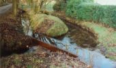
Photos

Localisation

Pays :
Pays-Bas
Région :
Gueldre
Département/Province :
Inconnu
Commune :
Apeldoorn
Localité :
Unknown
Départ:(UTM)
295786 ; 5778169 (32U) N.

Randonnées à proximité

Randonnée A pied Apeldoorn - Albapad - Photo
A pied
GUIDE+

A pied

Facile
Apeldoorn, Gueldre, Inconnu, Pays-Bas
10,8 km | 11,6 km-effort
2h 37min
Oui
Randonnée A pied Apeldoorn - Deelerwoud - Blauw - Photo
A pied
GUIDE+

A pied

Facile
Apeldoorn, Gueldre, Inconnu, Pays-Bas
6,8 km | 7,5 km-effort
1h 42min
Non
Randonnée A pied Apeldoorn - Welkom op de Loenermark! Zwarte route - Photo
A pied
GUIDE+

A pied

Facile
Apeldoorn, Gueldre, Inconnu, Pays-Bas
8,6 km | 10,2 km-effort
2h 19min
Oui
Randonnée A pied Apeldoorn - Welkom op de Loenermark! Blauwe route - Photo
A pied
GUIDE+

A pied

Facile
Apeldoorn, Gueldre, Inconnu, Pays-Bas
6,2 km | 7,1 km-effort
1h 37min
Oui
Randonnée A pied Brummen - Dwars door Gelderland (17) - Photo
A pied
GUIDE+

A pied

Facile
Brummen, Gueldre, Inconnu, Pays-Bas
6,2 km | 6,7 km-effort
1h 31min
Non
Randonnée A pied Rheden - Dwars door Gelderland (16) - Photo
A pied
GUIDE+

A pied

Facile
Rheden, Gueldre, Inconnu, Pays-Bas
6,5 km | 7,1 km-effort
1h 36min
Non
Randonnée Marche Apeldoorn - Reeëndal in Loenen (gld) - Photo
Marche
Marc Ambagts

Marche

Facile
(1)
Apeldoorn, Gueldre, Inconnu, Pays-Bas
5 km | 5,4 km-effort
1h 13min
Oui
Randonnée Vélo Brummen - Gelderland - Veluwezoomtocht - Photo
Vélo
gpstracks

Vélo

Très facile
Brummen, Gueldre, Inconnu, Pays-Bas
54 km | 60 km-effort
Inconnu
Oui
Randonnée Vélo Apeldoorn - f-gelderland-loenen-posbank - Photo
Vélo
gpstracks

Vélo

Très facile
Apeldoorn, Gueldre, Inconnu, Pays-Bas
44 km | 49 km-effort
Inconnu
Oui


Fermer
Mes abonnements