


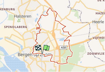

42 km | 46 km-effort

Tous les sentiers balisés d’Europe GUIDE+


Application GPS de randonnée GRATUITE
 SityTrail
IGN / Instituts géographiques
SityTrail World
Le monde est à vous
Randonnée A pied de 18,3 km à découvrir à Brabant-Septentrional, Inconnu, Berg-op-Zoom. Cette randonnée est proposée par SityTrail - itinéraires balisés pédestres.
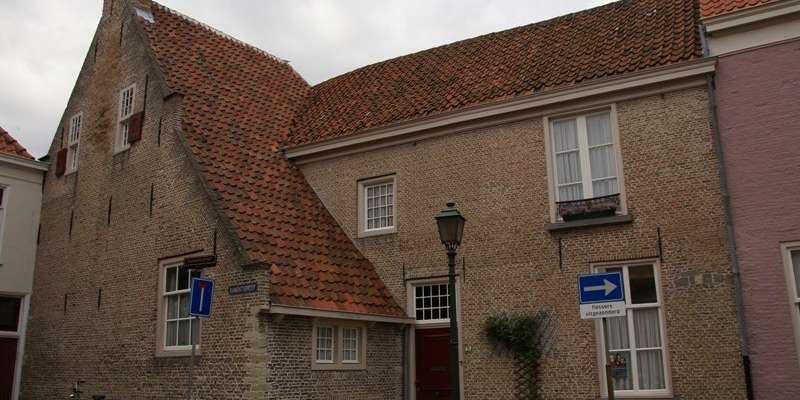
Een heerlijke rondwandeling door bossen, landgoederen en langs oude forten.
Site web: https://www.ns.nl/dagje-uit/wandelen/fort-de-roovere.html


Marche
Marche

Vélo
V.T.T.
V.T.T.
V.T.T.

Marche
Marche
Marche