


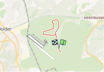

3,2 km | 3,9 km-effort

Tous les sentiers balisés d’Europe GUIDE+


Application GPS de randonnée GRATUITE
 SityTrail
IGN / Instituts géographiques
SityTrail World
Le monde est à vous
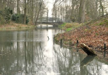
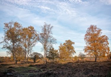
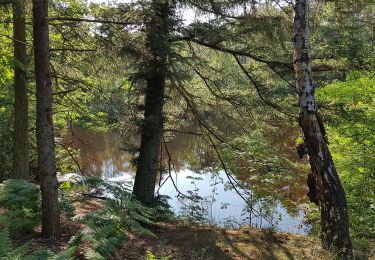
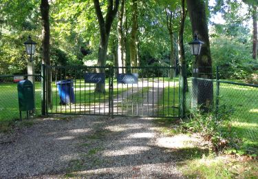
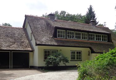
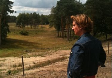
Randonnée A pied de 4,3 km à découvrir à Utrecht, Inconnu, Soest. Cette randonnée est proposée par SityTrail - itinéraires balisés pédestres.
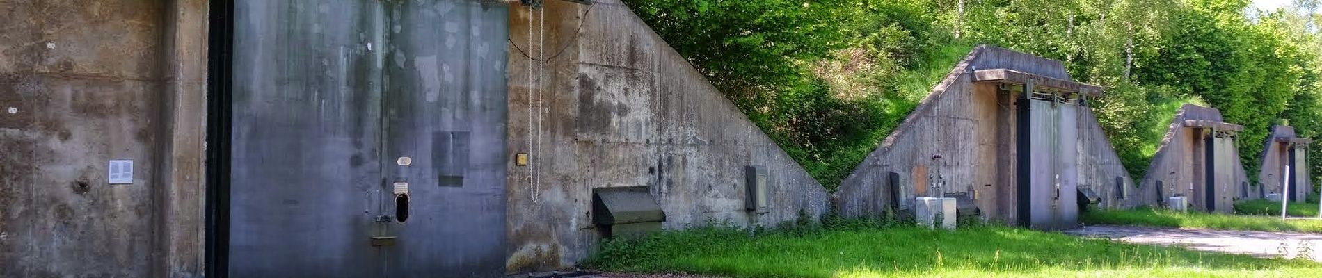
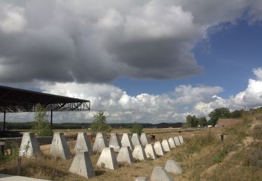
Randonnée créée par Utrechts Landschap.
Site web: https://www.utrechtslandschap.nl/routes/wandelen/munitiepark-soesterberg


A pied
A pied
A pied
A pied
A pied

Autre activité