


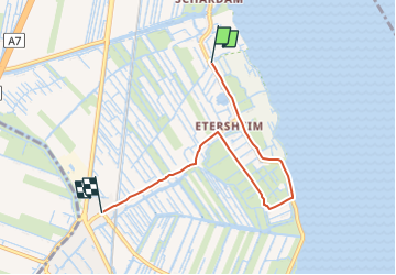

13,8 km | 14,3 km-effort

Tous les sentiers balisés d’Europe GUIDE+


Application GPS de randonnée GRATUITE
 SityTrail
IGN / Instituts géographiques
SityTrail World
Le monde est à vous
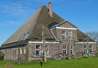
Randonnée A pied de 4,6 km à découvrir à Hollande-Septentrionale, Inconnu, Edam-Volendam. Cette randonnée est proposée par SityTrail - itinéraires balisés pédestres.
Kijk over Kogenroute: Alternatieve route tijdens broedseizoen (15maart -15 juni)
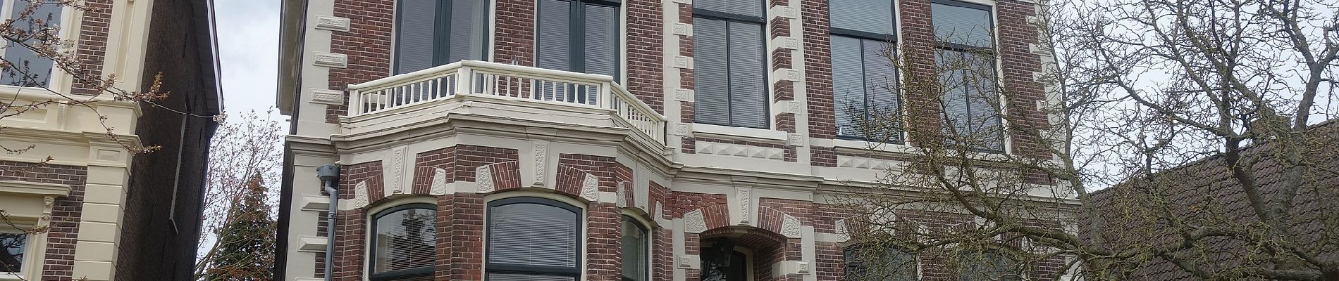
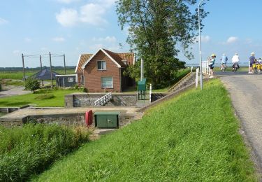
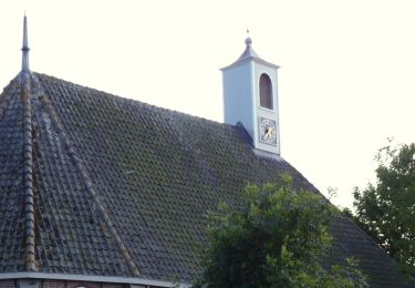
 - Photo 1")
 - Photo 2")
 - Photo 3")
 - Photo 4")
 - Photo 5")
 - Photo 6")
 - Photo 7")
 - Photo 8")
 - Photo 9")
 - Photo 10")
A pied
A pied
A pied
A pied

Vélo