


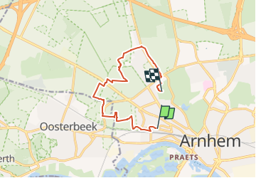

19,7 km | 23 km-effort


Tous les sentiers balisés d’Europe GUIDE+


Application GPS de randonnée GRATUITE
 SityTrail
IGN / Instituts géographiques
SityTrail World
Le monde est à vous
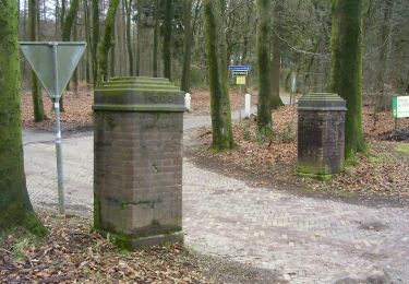
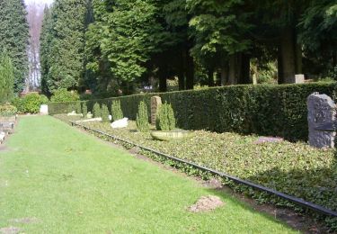
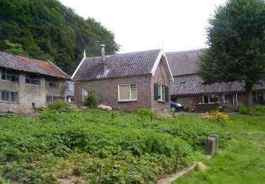
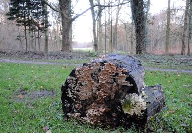
Randonnée A pied de 9,4 km à découvrir à Gueldre, Inconnu, Arnhem. Cette randonnée est proposée par SityTrail - itinéraires balisés pédestres.
Site web: https://www.wandelzoekpagina.nl/groene_wissels/lijst.php


A pied
A pied
A pied
A pied


A pied