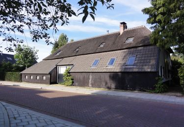
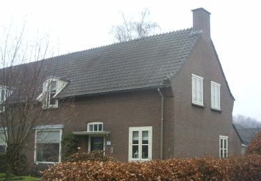
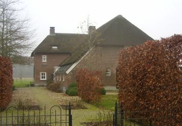
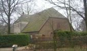
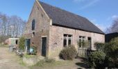
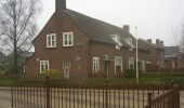
Randonnée A pied Wijchen - Wandelroute landgoed Hernen en Bergharen - Photo

Wandelroute landgoed Hernen en Bergharen

Tous les sentiers balisés d’Europe GUIDE+

© OpenStreetMap contributors
Longueur
Longueur
8 km
Altitude max
Altitude max
18 m
Dénivelé positif
Dénivelé positif
43 m
Km-Effort
Km-Effort  
8,6 km
Altitude min
Altitude min
4 m
Dénivelé négatif
Dénivelé négatif
43 m
Boucle
Boucle
Oui
Balise
Balise
Date de création :
2022-02-14 14:29:51.79
Dernière modification :
2022-02-14 14:29:51.79

(0 Avis)

A pied
A pied
1h57
Difficulté : Facile

Scannez ce code QR pour ouvrir la randonnée dans l'application SityTrail

Application GPS de randonnée GRATUITE

Logo SityTrail SityTrail

IGN / Instituts géographiques

Télécharger SityTrail sur l'App Store Télécharger SityTrail sur Google Play

Logo SityTrail SityTrail World

Le monde est à vous

Télécharger SityTrail sur l'App Store Télécharger SityTrail sur Google Play Télécharger SityTrail sur Huawei AppGallery

À propos

Randonnée A pied de 8 km à découvrir à Gueldre, Inconnu, Wijchen. Cette randonnée est proposée par SityTrail - itinéraires balisés pédestres.

Description

Overwegend beboste terreintjes op de rug en aan de voet van een gordel van rivierduinen, die opvallend boven het vlakke kleigebied uitsteken. Ook bloe

Site web: https://www.glk.nl/82/locatie/?locatie=5

Profil altimétrique

Photos

Localisation

Pays :
Pays-Bas
Région :
Gueldre
Département/Province :
Inconnu
Commune :
Wijchen
Localité :
Unknown
Départ:(UTM)
684549 ; 5746037 (31U) N.

Randonnées à proximité

Randonnée A pied Wijchen - Wandelroute heerlijkheid Leur en Hernense Bos - Photo
A pied
GUIDE+

A pied

Facile
Wijchen, Gueldre, Inconnu, Pays-Bas
6,9 km | 7,7 km-effort
1h 45min
Oui
Randonnée A pied Wijchen - wandelroute Bergharen, door de natuur - Photo
A pied
GUIDE+

A pied

Facile
Wijchen, Gueldre, Inconnu, Pays-Bas
4,8 km | 5,3 km-effort
1h 12min
Oui
Randonnée A pied Wijchen - Wandelroute Bergharen, door agrarisch gebied - Photo
A pied
GUIDE+

A pied

Facile
Wijchen, Gueldre, Inconnu, Pays-Bas
3,4 km | 3,7 km-effort
49min
Non
Randonnée Marche Wijchen - w-gelderland-hernen-bergharen-hernen - Photo
Marche
gpstracks

Marche

Très facile
(1)
Wijchen, Gueldre, Inconnu, Pays-Bas
7,6 km | 8,1 km-effort
Inconnu
Oui
Randonnée Vélo Wijchen - Gelderland - Wijchen-Xanten - Photo
Vélo
gpstracks

Vélo

Très facile
Wijchen, Gueldre, Inconnu, Pays-Bas
194 km | 207 km-effort
Inconnu
Oui
Randonnée Vélo Wijchen - Gelderland - Dorpshuizenfietstocht 2005 - Photo
Vélo
gpstracks

Vélo

Très facile
Wijchen, Gueldre, Inconnu, Pays-Bas
44 km | 47 km-effort
Inconnu
Oui
Randonnée Vélo Wijchen - f-gelderland-dijkenroute-door-maas-en-waal - Photo
Vélo
gpstracks

Vélo

Très facile
Wijchen, Gueldre, Inconnu, Pays-Bas
71 km | 76 km-effort
Inconnu
Oui
Randonnée Marche Oss - w-nbrabant-wandelroute-ravenstein-herperduin-oss - Photo
Marche
gpstracks

Marche

Très facile
Oss, Brabant-Septentrional, Inconnu, Pays-Bas
33 km | 35 km-effort
Inconnu
Non
Randonnée Marche Oss - w-nbrabant-wandelroute-over-de-dam-bij-ravenstein - Photo
Marche
gpstracks

Marche

Très facile
Oss, Brabant-Septentrional, Inconnu, Pays-Bas
14,2 km | 15,1 km-effort
Inconnu
Oui


Fermer
Mes abonnements