


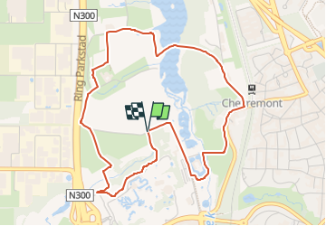

5,7 km | 7,3 km-effort

Tous les sentiers balisés d’Europe GUIDE+


Application GPS de randonnée GRATUITE
 SityTrail
IGN / Instituts géographiques
SityTrail World
Le monde est à vous
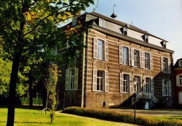
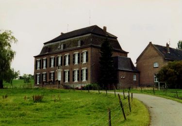
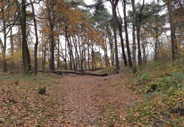
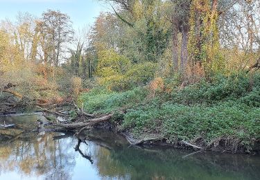
Randonnée A pied de 4,7 km à découvrir à Limbourg, Inconnu, Kerkrade. Cette randonnée est proposée par SityTrail - itinéraires balisés pédestres.
Randonnée créée par Park Gravenrode.
Symbole: Black pole with blue bar just below top
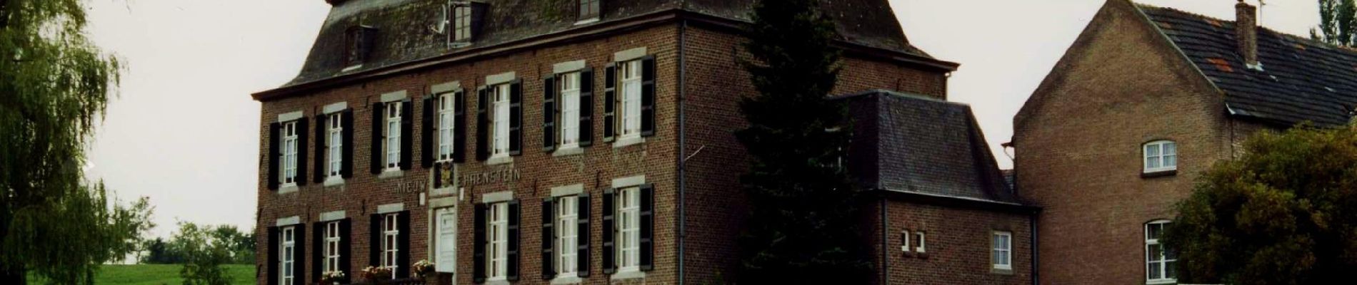
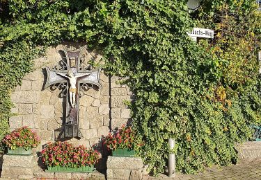
 - Photo 1")
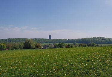
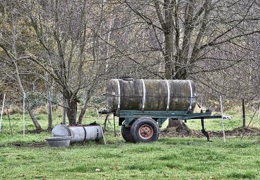
 - Photo 2")
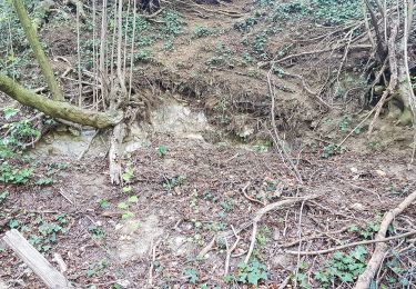
 - Photo 3")
 - Photo 4")
 - Photo 5")
 - Photo 6")
 - Photo 7")
 - Photo 8")
A pied
A pied

A pied
A pied
A pied
A pied
A pied
A pied
A pied