


118 km | 145 km-effort

Tous les sentiers balisés d’Europe GUIDE+


Application GPS de randonnée GRATUITE
 SityTrail
IGN / Instituts géographiques
SityTrail World
Le monde est à vous
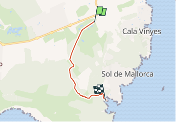
Randonnée A pied de 3,7 km à découvrir à Îles Baléares, Inconnu, Calvià. Cette randonnée est proposée par SityTrail - itinéraires balisés pédestres.
This has not official name. It seems it has german unofficial name. Please, note that the hiking routes have no name if not appear in official sources (Consell de Mallorca, Comunitat Autònoma de les Illes Balears, Townhall publications, etc)
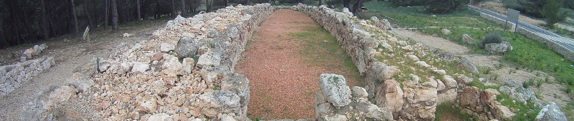
 - Photo 1")

Vélo de route
Vélo de route