3 km | 8,4 km-effort
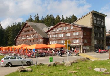
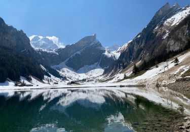
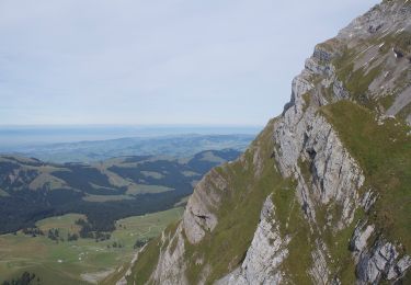
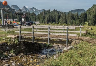
Säntis - Mesmer
SityTrail - itinéraires balisés pédestres
Tous les sentiers balisés d’Europe GUIDE+
Longueur
4,1 km
Altitude max
2447 m
Dénivelé positif
1 m
Km-Effort
6,9 km
Altitude min
1612 m
Dénivelé négatif
823 m
Boucle
Non
Balise
Date de création :
2022-02-14 09:01:30.3
Dernière modification :
2022-02-14 09:01:30.3
1h33
Difficulté : Facile
Application GPS de randonnée GRATUITE
À propos
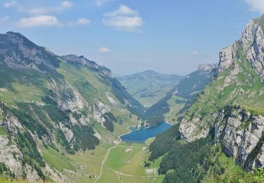
Randonnée A pied de 4,1 km à découvrir à Appenzell Rhodes-Intérieures, Inconnu, Schwende. Cette randonnée est proposée par SityTrail - itinéraires balisés pédestres.
Localisation
Pays :
Suisse
Région :
Appenzell Rhodes-Intérieures
Département/Province :
Inconnu
Commune :
Schwende
Localité :
Unknown
Départ:(Dec)
Départ:(UTM)
526065 ; 5232941 (32T) N.
Commentaires
Randonnées à proximité
Meglisalp - Wagenlücke
A pied
Facile
Schwende,
Appenzell Rhodes-Intérieures,
Inconnu,
Suisse
1h 54min
Non
Schwägalp - Tierwies
A pied
Facile
Hundwil,
Appenzell Rhodes-Extérieures,
Hinterland,
Suisse
3,2 km | 10,5 km-effort
2h 22min
Non
Altenalp - Öhrligrueb
A pied
Facile
Schwende,
Appenzell Rhodes-Intérieures,
Inconnu,
Suisse
3,4 km | 8,9 km-effort
2h 1min
Non
Tierwies - Langebüel
A pied
Facile
Wildhaus-Alt St. Johann,
Saint-Gall,
Wahlkreis Toggenburg,
Suisse
3,7 km | 6,1 km-effort
1h 23min
Non
Langenbüel - Rotsteinpass
A pied
Facile
Wildhaus-Alt St. Johann,
Saint-Gall,
Wahlkreis Toggenburg,
Suisse
3,2 km | 9,5 km-effort
2h 9min
Non
Öhrligrueb - Schäfler
A pied
Facile
Schwende,
Appenzell Rhodes-Intérieures,
Inconnu,
Suisse
3,5 km | 6 km-effort
1h 21min
Non
y10_liesengrat
Autre activité
Très facile
Wildhaus-Alt St. Johann,
Saint-Gall,
Wahlkreis Toggenburg,
Suisse
10,4 km | 19,9 km-effort
3h 32min
Non
w_CHpur05_schwaeg
Marche
Très facile
Hundwil,
Appenzell Rhodes-Extérieures,
Hinterland,
Suisse
4,5 km | 6,7 km-effort
Inconnu
Oui
sf_e3a
Marche
Très facile
Hundwil,
Appenzell Rhodes-Extérieures,
Hinterland,
Suisse
11,8 km | 19,8 km-effort
3h 27min
Non