


4,9 km | 7,6 km-effort

Tous les sentiers balisés d’Europe GUIDE+


Application GPS de randonnée GRATUITE
 SityTrail
IGN / Instituts géographiques
SityTrail World
Le monde est à vous
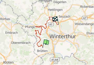
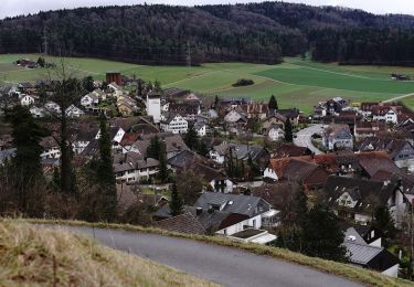
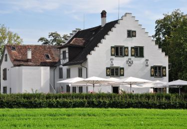
Randonnée A pied de 21 km à découvrir à Zurich, Bezirk Winterthur, Brütten. Cette randonnée est proposée par SityTrail - itinéraires balisés pédestres.
Willkommen auf dem Rundweg
Site web: https://www.rundweg.winterthur.ch/


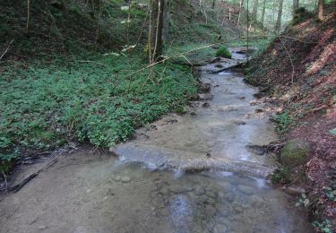
A pied
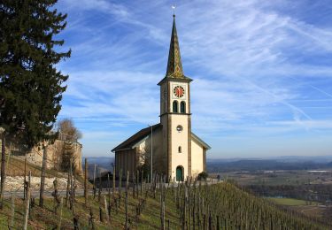
A pied
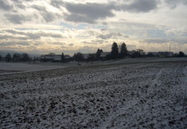
A pied
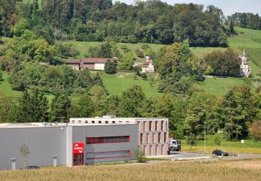
A pied
A pied
A pied
A pied
A pied
A pied