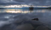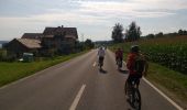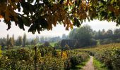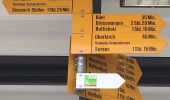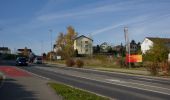

Sempachersee-Moosweg
SityTrail - itinéraires balisés pédestres
Tous les sentiers balisés d’Europe GUIDE+

Longueur
7,5 km

Altitude max
518 m

Dénivelé positif
45 m

Km-Effort
8,1 km

Altitude min
499 m

Dénivelé négatif
47 m
Boucle
Non
Balise
Date de création :
2022-02-14 08:54:26.42
Dernière modification :
2022-02-14 08:54:26.42
1h50
Difficulté : Facile

Application GPS de randonnée GRATUITE
À propos
Randonnée A pied de 7,5 km à découvrir à Lucerne, Inconnu, Nottwil. Cette randonnée est proposée par SityTrail - itinéraires balisés pédestres.
Description
Randonnée créée par Luzerner Wanderwege.
Symbole: weisser Pfeil
Localisation
Pays :
Suisse
Région :
Lucerne
Département/Province :
Inconnu
Commune :
Nottwil
Localité :
Unknown
Départ:(Dec)
Départ:(UTM)
434688 ; 5220979 (32T) N.
Commentaires
Randonnées à proximité
Ober Säliwald - Ruswil


A pied
Facile
Ruswil,
Lucerne,
Inconnu,
Suisse

4,3 km | 5,7 km-effort
1h 18min
Non
Hellbühl - Obersäliwald


A pied
Facile
Ruswil,
Lucerne,
Inconnu,
Suisse

5,1 km | 6,7 km-effort
1h 32min
Non
Schloss Mauensee - Seewagen


A pied
Facile
Mauensee,
Lucerne,
Inconnu,
Suisse

3,4 km | 3,6 km-effort
48min
Non
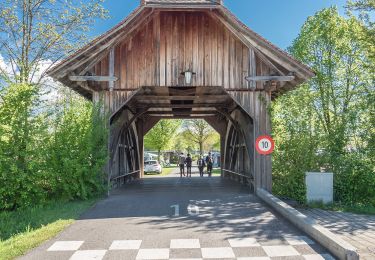
Nottwil - Sempach (Vogelwarte)


A pied
Facile
Nottwil,
Lucerne,
Inconnu,
Suisse

5,8 km | 6,3 km-effort
1h 25min
Non
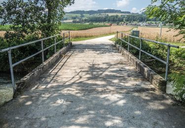

Geuensee- Suhrenuferweg


A pied
Facile
Sursee,
Lucerne,
Inconnu,
Suisse

9,5 km | 10,1 km-effort
2h 17min
Non
Niklaus Wolf Weg


A pied
Facile
Neuenkirch,
Lucerne,
Inconnu,
Suisse

3,9 km | 4,6 km-effort
1h 2min
Oui
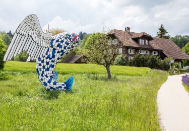
Gishubel - Berghof


A pied
Facile
Mauensee,
Lucerne,
Inconnu,
Suisse

4,4 km | 5,7 km-effort
1h 18min
Non


 SityTrail


