


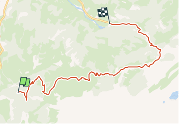

7,1 km | 10,9 km-effort

Tous les sentiers balisés d’Europe GUIDE+


Application GPS de randonnée GRATUITE
 SityTrail
IGN / Instituts géographiques
SityTrail World
Le monde est à vous
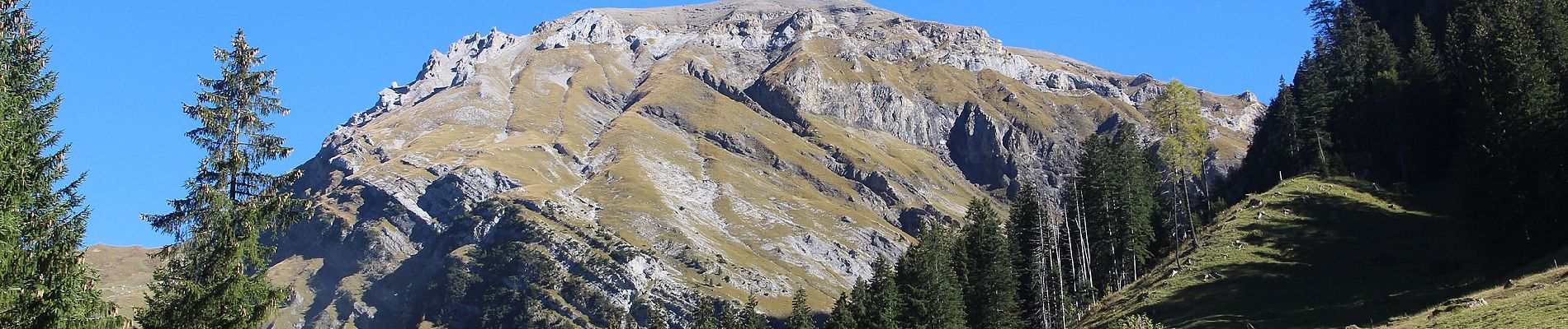
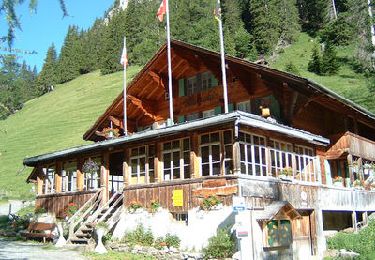
Randonnée A pied de 8,2 km à découvrir à Berne, Arrondissement administratif du Haut-Simmental et Gessenay, La Lenk. Cette randonnée est proposée par SityTrail - itinéraires balisés pédestres.
Symbole: weiss-rot-weiss
 - Lenk (Simmenfälle) - Photo 1")
 - Lenk (Simmenfälle) - Photo 2")
 - Lenk (Simmenfälle) - Photo 3")
 - Lenk (Simmenfälle) - Photo 4")
 - Lenk (Simmenfälle) - Photo 5")
 - Lenk (Simmenfälle) - Photo 6")
 - Lenk (Simmenfälle) - Photo 7")
 - Lenk (Simmenfälle) - Photo 8")
 - Lenk (Simmenfälle) - Photo 9")
 - Lenk (Simmenfälle) - Photo 10")

Marche

A pied
Marche
Marche

Marche
Marche
Marche
Marche
Marche