


11 km | 14 km-effort

Tous les sentiers balisés d’Europe GUIDE+


Application GPS de randonnée GRATUITE
 SityTrail
IGN / Instituts géographiques
SityTrail World
Le monde est à vous
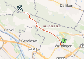
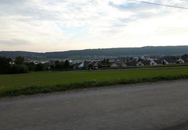
Randonnée A pied de 3,2 km à découvrir à Zurich, Bezirk Dietikon, Weiningen (ZH). Cette randonnée est proposée par SityTrail - itinéraires balisés pédestres.
Symbole: gelbe Raute
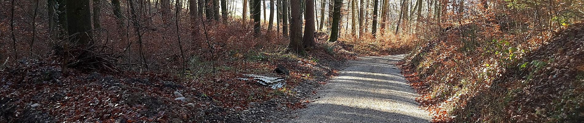
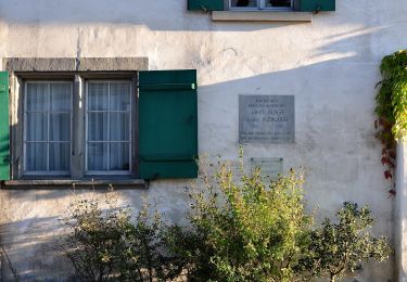
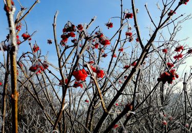
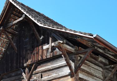
 - Weiningen - Altberg - Photo 1")
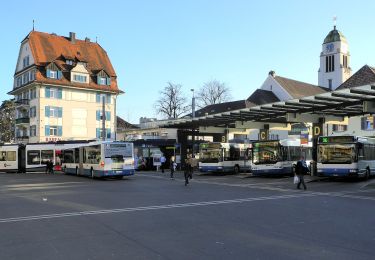
 - Weiningen - Altberg - Photo 2")
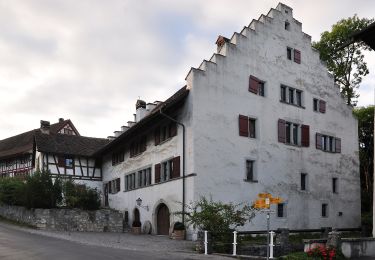
 - Weiningen - Altberg - Photo 3")
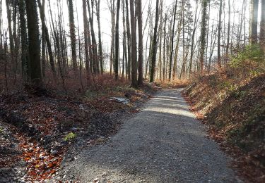
 - Weiningen - Altberg - Photo 4")
 - Weiningen - Altberg - Photo 5")
 - Weiningen - Altberg - Photo 6")
 - Weiningen - Altberg - Photo 7")
 - Weiningen - Altberg - Photo 8")
 - Weiningen - Altberg - Photo 9")
A pied
A pied
A pied
A pied
A pied
A pied
A pied
A pied
A pied