


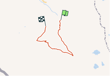

44 km | 116 km-effort

Tous les sentiers balisés d’Europe GUIDE+


Application GPS de randonnée GRATUITE
 SityTrail
IGN / Instituts géographiques
SityTrail World
Le monde est à vous
Randonnée A pied de 4,8 km à découvrir à Valais, Entremont, Orsières. Cette randonnée est proposée par SityTrail - itinéraires balisés pédestres.
Randonnée créée par Office du Tourisme de La Fouly.
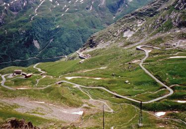
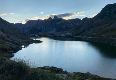
Hike from La Fouly to the medow of the Mont-Percé and back.


Marche
A pied
A pied

A pied

Marche
Marche

Marche

Marche

Marche