


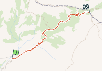

3 km | 8,4 km-effort

Tous les sentiers balisés d’Europe GUIDE+


Application GPS de randonnée GRATUITE
 SityTrail
IGN / Instituts géographiques
SityTrail World
Le monde est à vous
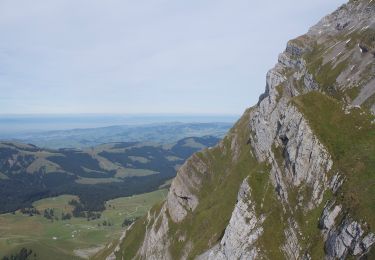
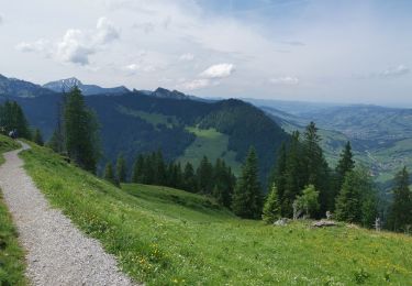
Randonnée A pied de 3,2 km à découvrir à Saint-Gall, Wahlkreis Toggenburg, Wildhaus-Alt St. Johann. Cette randonnée est proposée par SityTrail - itinéraires balisés pédestres.
Symbole: weiss-rot-weiss


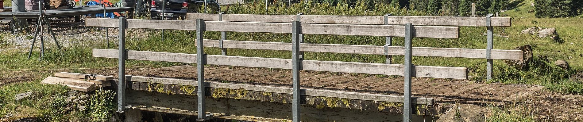
A pied
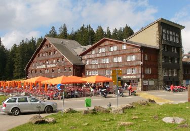
A pied

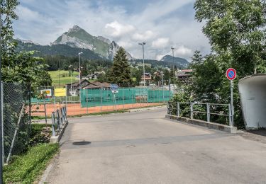
A pied

A pied
A pied
A pied
Marche

A pied
Autre activité