


14,5 km | 20 km-effort

Utilisateur


Application GPS de randonnée GRATUITE
 SityTrail
IGN / Instituts géographiques
SityTrail World
Le monde est à vous
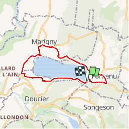
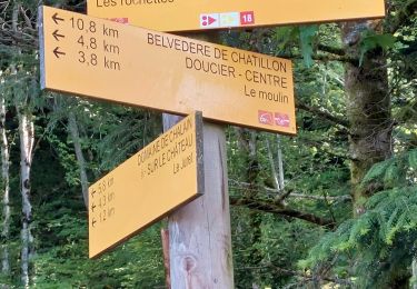
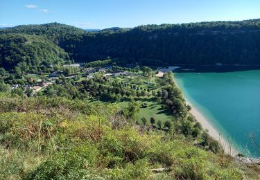
Randonnée Marche de 13,1 km à découvrir à Bourgogne-Franche-Comté, Jura, Fontenu. Cette randonnée est proposée par antoine01.
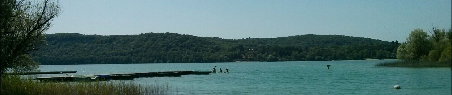
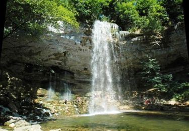
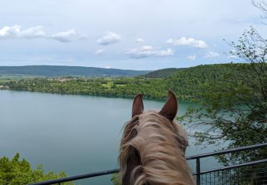
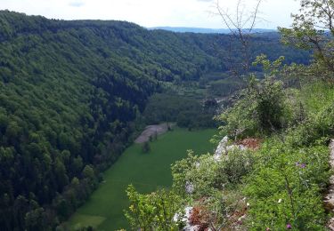
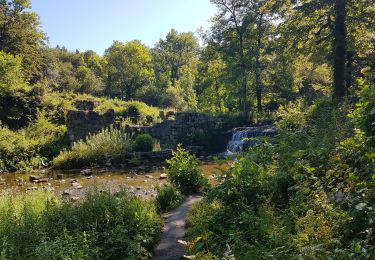
Balade sympa à faire sur la journée. Sentier soit en bordure de lac, soit en surplomb ou en bordure de rochers avec belvédères


21 photos au total. Cliquez sur une photo pour les afficher toutes dans la galerie.

Marche

Marche
V.T.T.
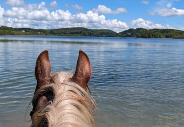
Randonnée équestre
Randonnée équestre
Marche
Marche
Marche
Marche