


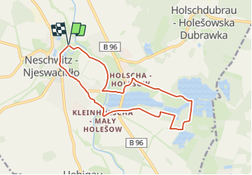

4,3 km | 4,9 km-effort

Tous les sentiers balisés d’Europe GUIDE+


Application GPS de randonnée GRATUITE
 SityTrail
IGN / Instituts géographiques
SityTrail World
Le monde est à vous
Randonnée A pied de 7 km à découvrir à Saxe, Bautzen, Neschwitz - Njeswačidło. Cette randonnée est proposée par SityTrail - itinéraires balisés pédestres.
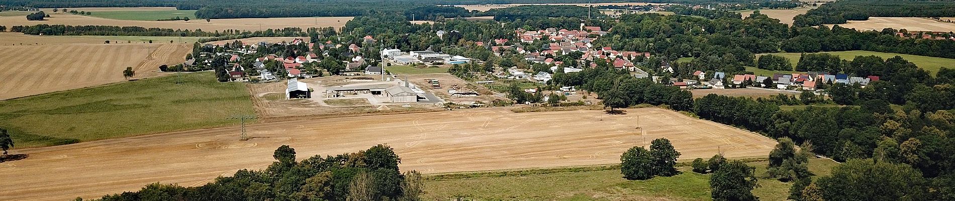
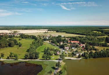
Mit der Familie die Heide- und Teichlandschaft der Oberlausitz entdecken.
Site web: https://www.saechsische.de/wandern-oberlausitz-kinder-heide-5203497.html


A pied
A pied