


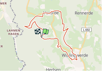

6,8 km | 12,3 km-effort

Tous les sentiers balisés d’Europe GUIDE+


Application GPS de randonnée GRATUITE
 SityTrail
IGN / Instituts géographiques
SityTrail World
Le monde est à vous
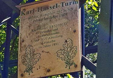
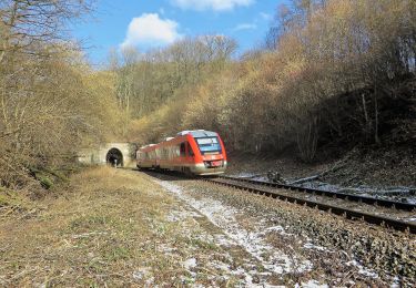
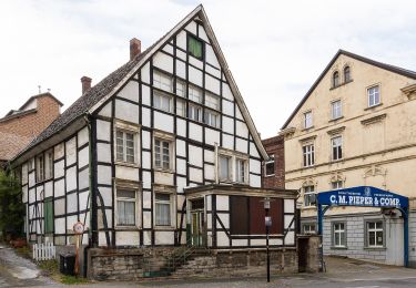
Randonnée A pied de 8,9 km à découvrir à Rhénanie-du-Nord-Westphalie, Märkischer Kreis, Nachrodt-Wiblingwerde. Cette randonnée est proposée par SityTrail - itinéraires balisés pédestres.
Randonnée créée par Sauerländischer Gebirgsverein.


A pied
A pied
A pied
A pied
![Randonnée A pied Altena - [A2] Um den Tiergarten - Photo](https://media.geolcdn.com/t/375/260/ac541118-8fb3-4eda-991b-ceab80b85a33.jpeg&format=jpg&maxdim=2)
A pied

A pied
A pied
A pied
A pied