![](/images/other/stat-length.png)
![Randonnée A pied Naumburg - Bonifatiuspfad Abschnitt 4, - Naumburg - Fritzlar - Photo](https://media.geolcdn.com/t/1900/400/feeede37-eb8d-4658-8bf5-e0c9f59e87a5.jpeg&format=pjpeg&maxdim=2)
Bonifatiuspfad Abschnitt 4, - Naumburg - Fritzlar
SityTrail - itinéraires balisés pédestres
Tous les sentiers balisés d’Europe GUIDE+
![Longueur](/images/other/stat-length.png)
![Altitude max](https://static1.geolcdn.com/siteimages/upload/files/1508320355ic_sort_altitude_max_24dp.png)
![Dénivelé positif](https://static1.geolcdn.com/siteimages/upload/files/1508320355ic_sort_den_pos_24dp.png)
![Km-Effort](/images/other/stat-length.png)
![Altitude min](https://static1.geolcdn.com/siteimages/upload/files/1508320355ic_sort_altitude_min_24dp.png)
![Dénivelé négatif](https://static1.geolcdn.com/siteimages/upload/files/1508320355ic_sort_den_neg_24dp.png)
![Boucle](https://static1.geolcdn.com/siteimages/upload/files/16400158638029165_repeat_loop_refresh_sync_direction_icon.png)
![A pied](https://static1.geolcdn.com/sitytour/trail-icons/100.png)
6h04
Difficulté : Moyen
![Scannez ce code QR pour ouvrir la randonnée dans l'application SityTrail](https://capi.geolives.com/qq0zvz2zws4bq2lad0pu/sitytour/trails/3101501/qr.png?size=200)
Application GPS de randonnée GRATUITE
À propos
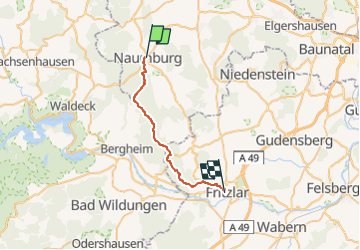
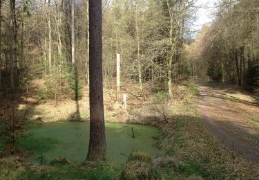
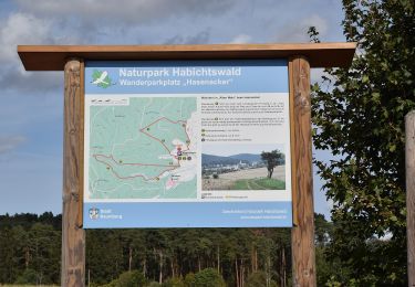
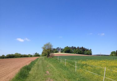
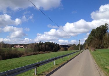
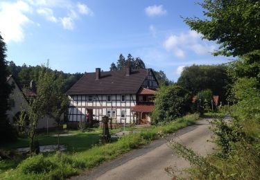
Randonnée A pied de 21 km à découvrir à Hesse, Landkreis Kassel, Naumburg. Cette randonnée est proposée par SityTrail - itinéraires balisés pédestres.
Description
Randonnée créée par Hessisch-Waldeckischer Gebirgs- und Heimatverein(HWGHV).
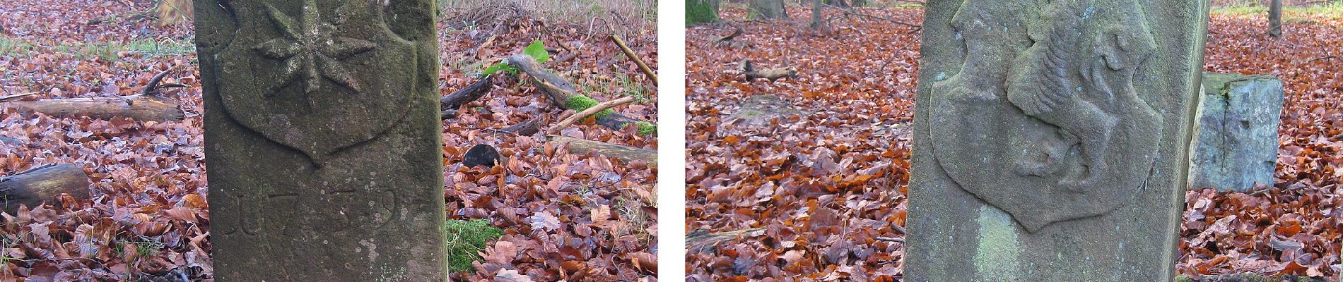
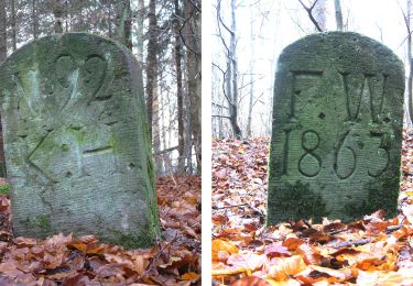
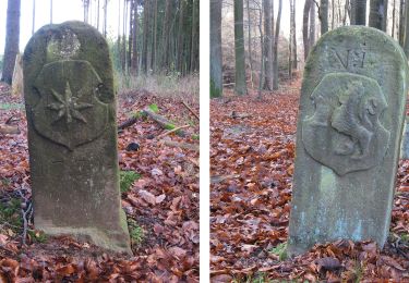
Symbole: Weißer Buchstabe X, manchmal auf schwarzem Grund und mit der Zahl 12 zwischen den Beinchen
Localisation
Commentaires
Randonnées à proximité
![Randonnée A pied Edertal - Böhne 1 (Bö1) - Photo](https://media.geolcdn.com/t/375/260/8a104d4f-159a-4f1a-98f9-cf725a9b879d.jpeg&format=jpg&maxdim=2)
![A pied A pied](https://static1.geolcdn.com/sitytour/trail-icons/100.png)
A pied
![](/images/other/stat-length.png)
![](https://static1.geolcdn.com/siteimages/upload/files/16400158638029165_repeat_loop_refresh_sync_direction_icon.png)
![Randonnée A pied Naumburg - Naumburg-Elbenberg - E3 - Photo](https://media.geolcdn.com/t/375/260/f46b84e6-0b0a-4b9f-bada-5d742549cd4f.jpeg&format=jpg&maxdim=2)
![A pied A pied](https://static1.geolcdn.com/sitytour/trail-icons/100.png)
A pied
![](/images/other/stat-length.png)
![](https://static1.geolcdn.com/siteimages/upload/files/16400158638029165_repeat_loop_refresh_sync_direction_icon.png)
![Randonnée A pied Naumburg - Naumburg - N5 - Photo](https://media.geolcdn.com/t/375/260/feeede37-eb8d-4658-8bf5-e0c9f59e87a5.jpeg&format=jpg&maxdim=2)
![A pied A pied](https://static1.geolcdn.com/sitytour/trail-icons/100.png)
A pied
![](/images/other/stat-length.png)
![](https://static1.geolcdn.com/siteimages/upload/files/16400158638029165_repeat_loop_refresh_sync_direction_icon.png)
![Randonnée A pied Naumburg - Naumburg - N2 - Photo](https://media.geolcdn.com/t/375/260/7b42d138-2d5b-4659-b05b-723024f38f78.jpeg&format=jpg&maxdim=2)
![A pied A pied](https://static1.geolcdn.com/sitytour/trail-icons/100.png)
A pied
![](/images/other/stat-length.png)
![](https://static1.geolcdn.com/siteimages/upload/files/16400158638029165_repeat_loop_refresh_sync_direction_icon.png)
![Randonnée A pied Naumburg - Naumburg - N3 - Photo](https://media.geolcdn.com/t/375/260/640338f4-2c05-40e1-b425-b130f687b287.jpeg&format=jpg&maxdim=2)
![A pied A pied](https://static1.geolcdn.com/sitytour/trail-icons/100.png)
A pied
![](/images/other/stat-length.png)
![](https://static1.geolcdn.com/siteimages/upload/files/16400158638029165_repeat_loop_refresh_sync_direction_icon.png)
![Randonnée A pied Naumburg - Naumburg - N9 - Photo](https://media.geolcdn.com/t/375/260/0bce6518-29ab-48a9-be2b-8f302274b1b9.jpeg&format=jpg&maxdim=2)
![A pied A pied](https://static1.geolcdn.com/sitytour/trail-icons/100.png)
A pied
![](/images/other/stat-length.png)
![](https://static1.geolcdn.com/siteimages/upload/files/16400158638029165_repeat_loop_refresh_sync_direction_icon.png)
![Randonnée A pied Naumburg - Naumburg - N1 - Photo](https://media.geolcdn.com/t/375/260/7351aa95-b073-4f73-b529-61caadcaf797.jpeg&format=jpg&maxdim=2)
![A pied A pied](https://static1.geolcdn.com/sitytour/trail-icons/100.png)
A pied
![](/images/other/stat-length.png)
![](https://static1.geolcdn.com/siteimages/upload/files/16400158638029165_repeat_loop_refresh_sync_direction_icon.png)
![Randonnée A pied Wolfhagen - Weidelsburg, Rundweg 2 - Photo](https://media.geolcdn.com/t/375/260/bbb36430-7c0e-4502-80bd-707f94c61de1.jpeg&format=jpg&maxdim=2)
![A pied A pied](https://static1.geolcdn.com/sitytour/trail-icons/100.png)
A pied
![](/images/other/stat-length.png)
![](https://static1.geolcdn.com/siteimages/upload/files/16400158638029165_repeat_loop_refresh_sync_direction_icon.png)
![Randonnée A pied Wolfhagen - Hasenmühle, Rundweg 3 - Photo](https://media.geolcdn.com/t/375/260/9955cd8e-0bef-4e03-a726-b5371569c59e.jpeg&format=jpg&maxdim=2)
![A pied A pied](https://static1.geolcdn.com/sitytour/trail-icons/100.png)
A pied
![](/images/other/stat-length.png)
![](https://static1.geolcdn.com/siteimages/upload/files/16400158638029165_repeat_loop_refresh_sync_direction_icon.png)