


3 km | 3,9 km-effort

Tous les sentiers balisés d’Europe GUIDE+


Application GPS de randonnée GRATUITE
 SityTrail
IGN / Instituts géographiques
SityTrail World
Le monde est à vous
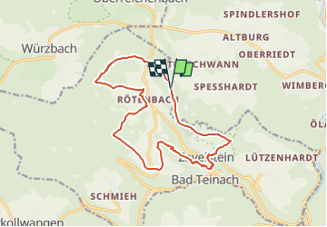
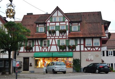
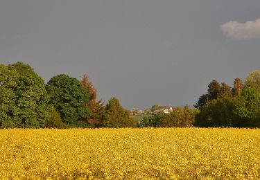
Randonnée A pied de 14,8 km à découvrir à Bade-Wurtemberg, Landkreis Calw, Calw. Cette randonnée est proposée par SityTrail - itinéraires balisés pédestres.
Der Weg ist zum Teil auch als "Augenblickrunde Bad Teinach Rötenbach" beschildert
Site web: https://schwarzwaldnatur.blogspot.com/2017/07/augenblick-runde-bad-teinach-zettelberg.html
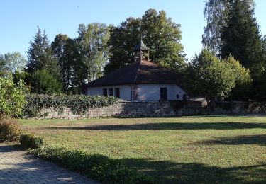
 - Photo 1")
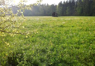
 - Photo 2")
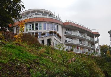
 - Photo 3")
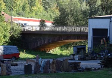
 - Photo 4")
 - Photo 5")
 - Photo 6")
 - Photo 7")
 - Photo 8")
 - Photo 9")
 - Photo 10")
A pied
A pied
A pied
A pied
A pied
A pied
A pied
A pied

A pied