


11 km | 12,8 km-effort

Tous les sentiers balisés d’Europe GUIDE+


Application GPS de randonnée GRATUITE
 SityTrail
IGN / Instituts géographiques
SityTrail World
Le monde est à vous
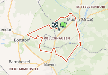
Randonnée A pied de 15,4 km à découvrir à Basse-Saxe, Celle (arrondissement), Faßberg. Cette randonnée est proposée par SityTrail - itinéraires balisés pédestres.
Einmaliges Panorama, ein sagenumwobener Elfenberg und Hügelgräber - auf dem Wanderweg W4 "Sagenhafte Sicht im Elfenland" im Naturpark Südheide gibt
Site web: https://www.lueneburger-heide.de/8869
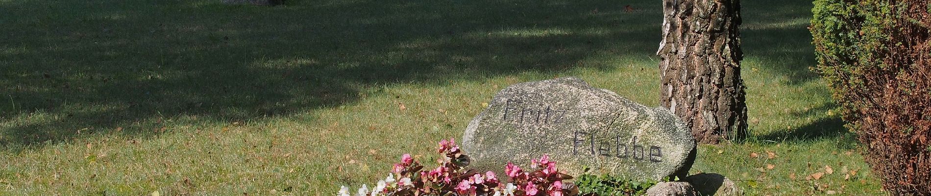
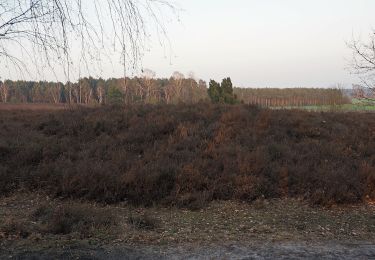
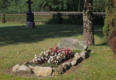
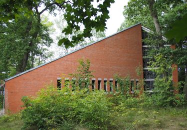
 - Photo 1")
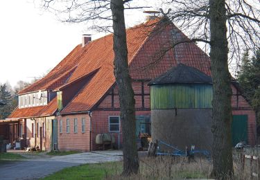
 - Photo 2")
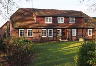
 - Photo 3")
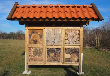
 - Photo 4")
 - Photo 5")
 - Photo 6")
 - Photo 7")
 - Photo 8")
 - Photo 9")
 - Photo 10")
A pied
A pied
A pied
A pied
A pied
A pied
A pied
A pied