


5,6 km | 6,3 km-effort

Tous les sentiers balisés d’Europe GUIDE+


Application GPS de randonnée GRATUITE
 SityTrail
IGN / Instituts géographiques
SityTrail World
Le monde est à vous
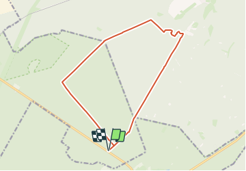
Randonnée A pied de 13,1 km à découvrir à Basse-Saxe, Celle (arrondissement), Südheide. Cette randonnée est proposée par SityTrail - itinéraires balisés pédestres.
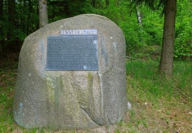
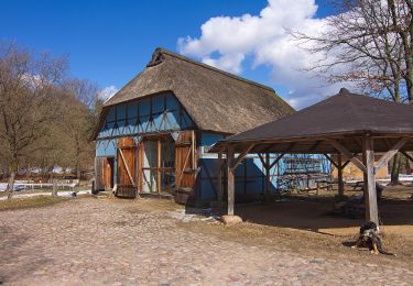
Die Wanderung des W9 "Wo die Wölfe ihre Fährten ziehen" führt durch die ausgedehnten Wälder bei Unterlüß und begibt sich auf die Spuren des Wolf
Site web: https://www.lueneburger-heide.de/9175
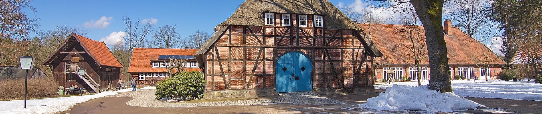
 - Photo 1")
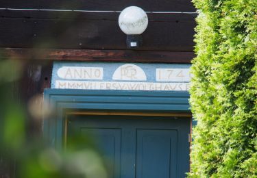
 - Photo 2")
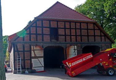
 - Photo 3")
 - Photo 4")
 - Photo 5")
 - Photo 6")
 - Photo 7")
 - Photo 8")
 - Photo 9")
 - Photo 10")
A pied
A pied

A pied

A pied
A pied
A pied
A pied
A pied