


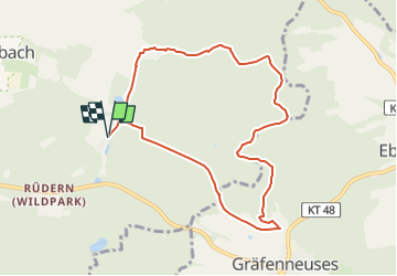

5,9 km | 8,2 km-effort

Tous les sentiers balisés d’Europe GUIDE+


Application GPS de randonnée GRATUITE
 SityTrail
IGN / Instituts géographiques
SityTrail World
Le monde est à vous
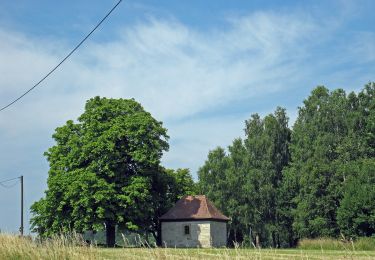
Randonnée A pied de 8,2 km à découvrir à Bavière, Landkreis Kitzingen, Prichsenstadt. Cette randonnée est proposée par SityTrail - itinéraires balisés pédestres.
Symbole: Rot-Brauner offener Kreis auf weißem Hintergrund mit Umschrift "TraumRunde Prichsenstadt"


A pied
A pied
A pied
A pied

A pied
A pied

A pied
A pied
A pied